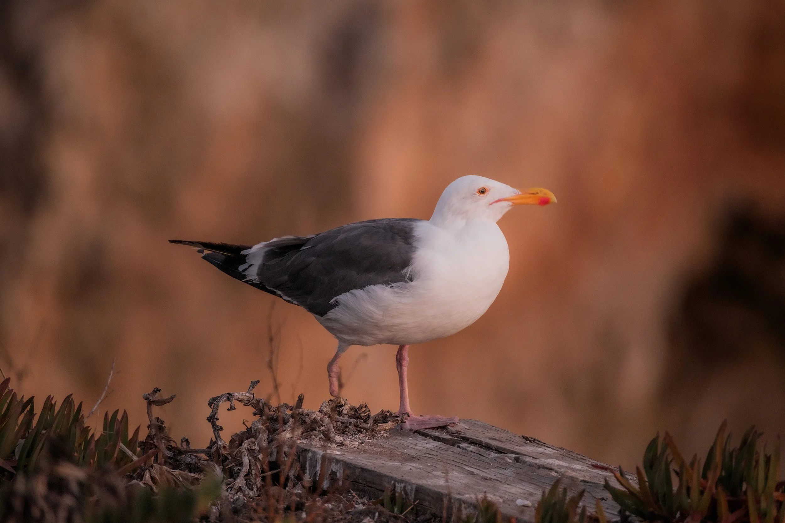
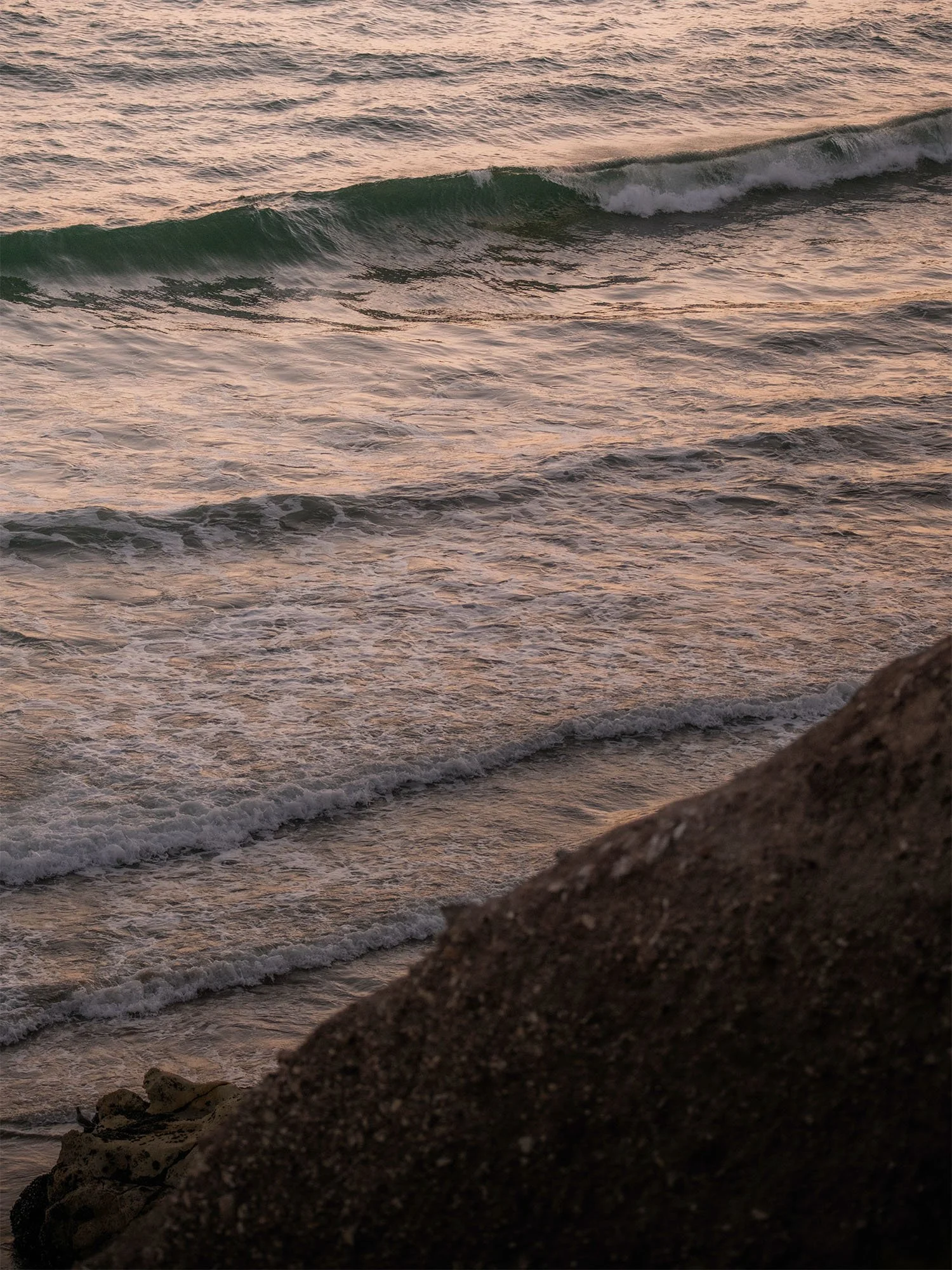
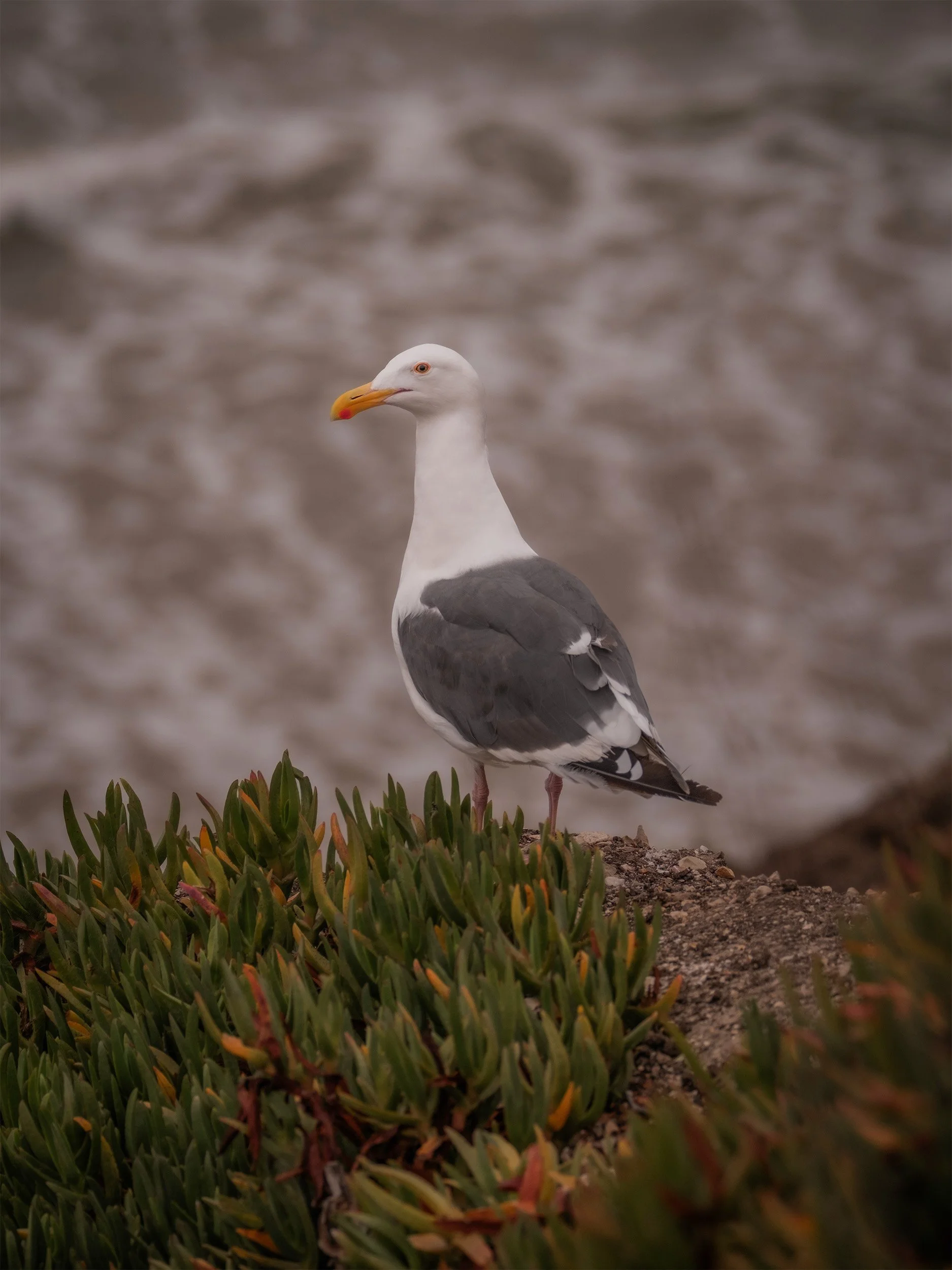
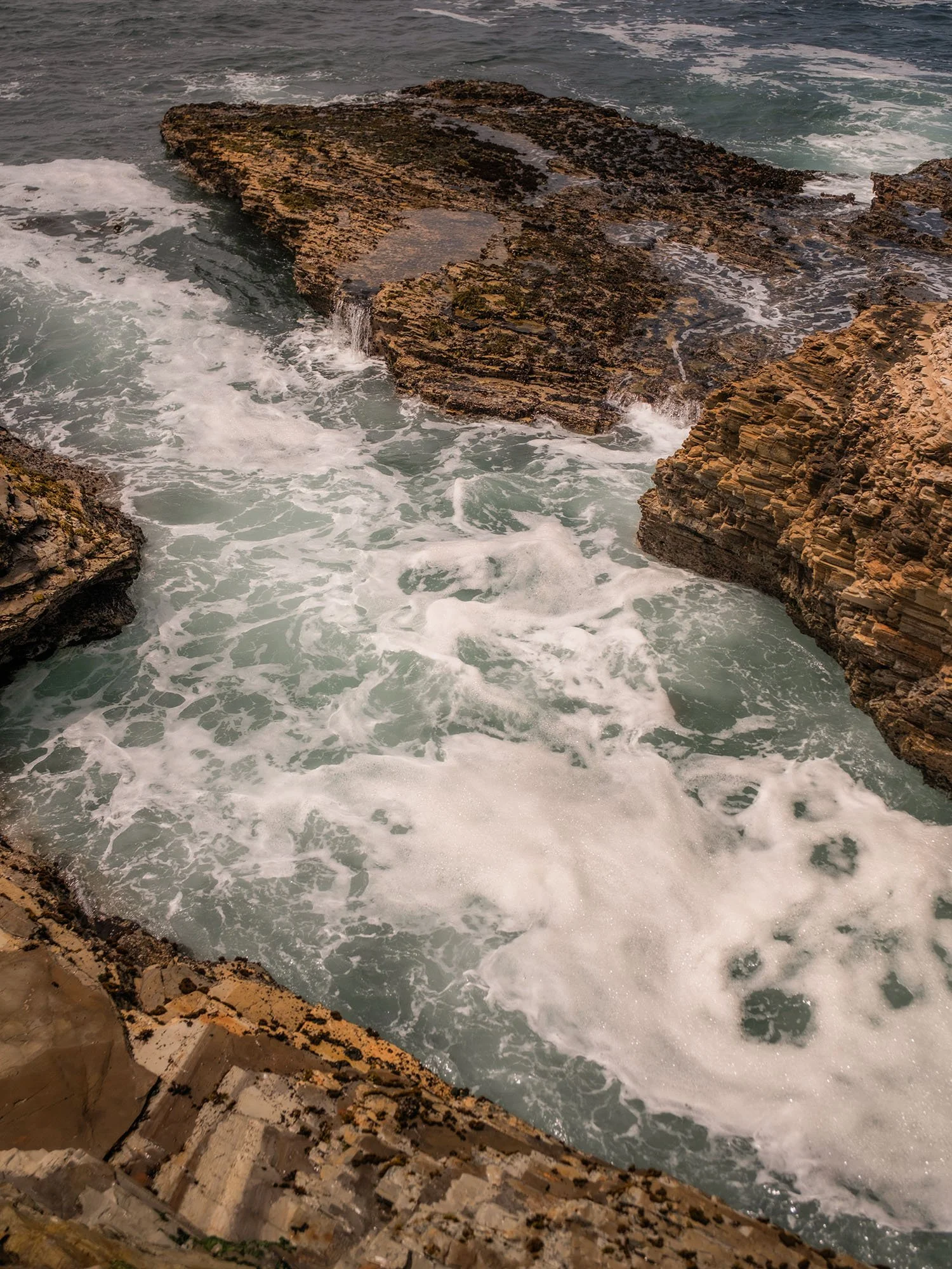
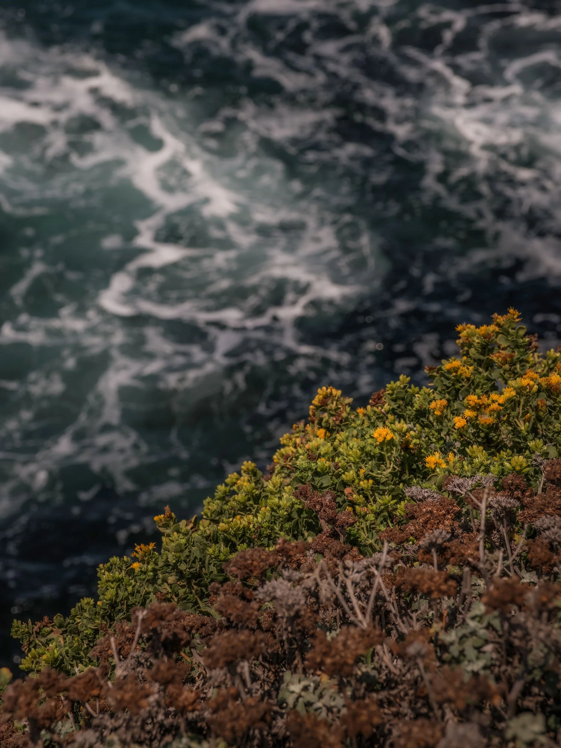
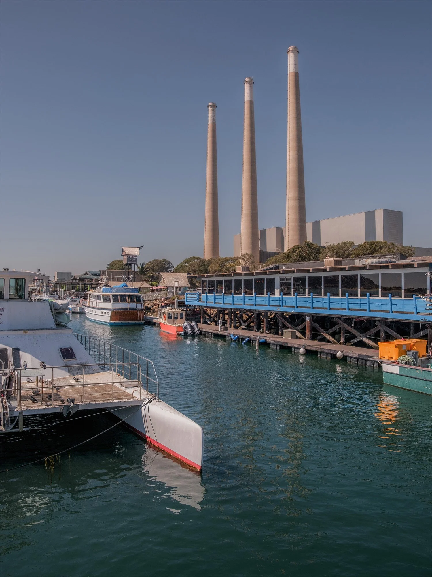
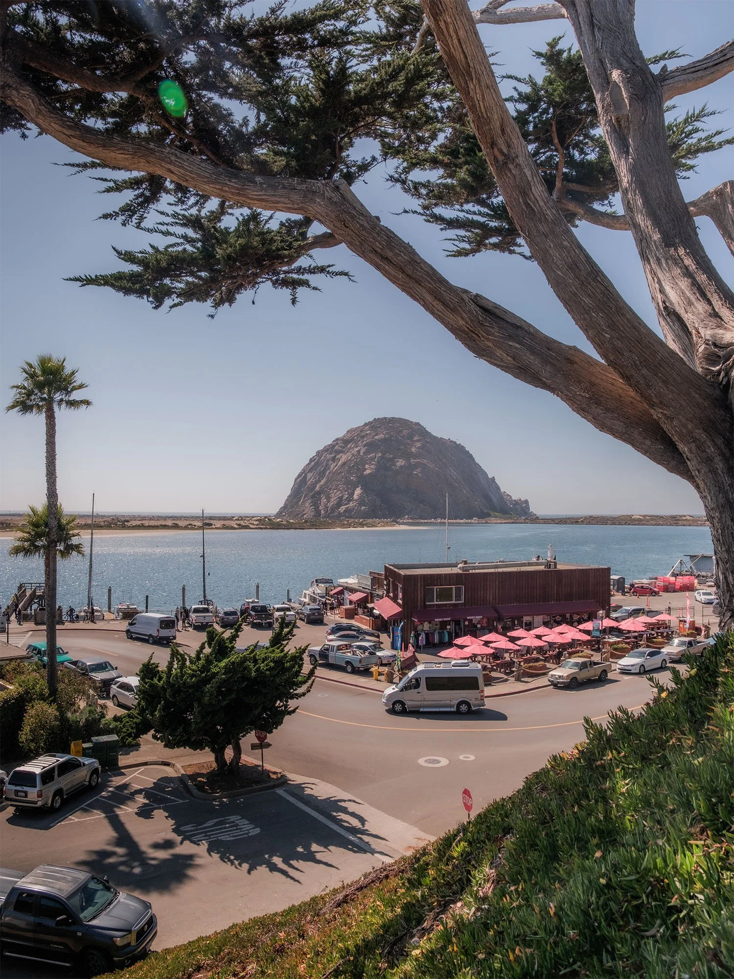
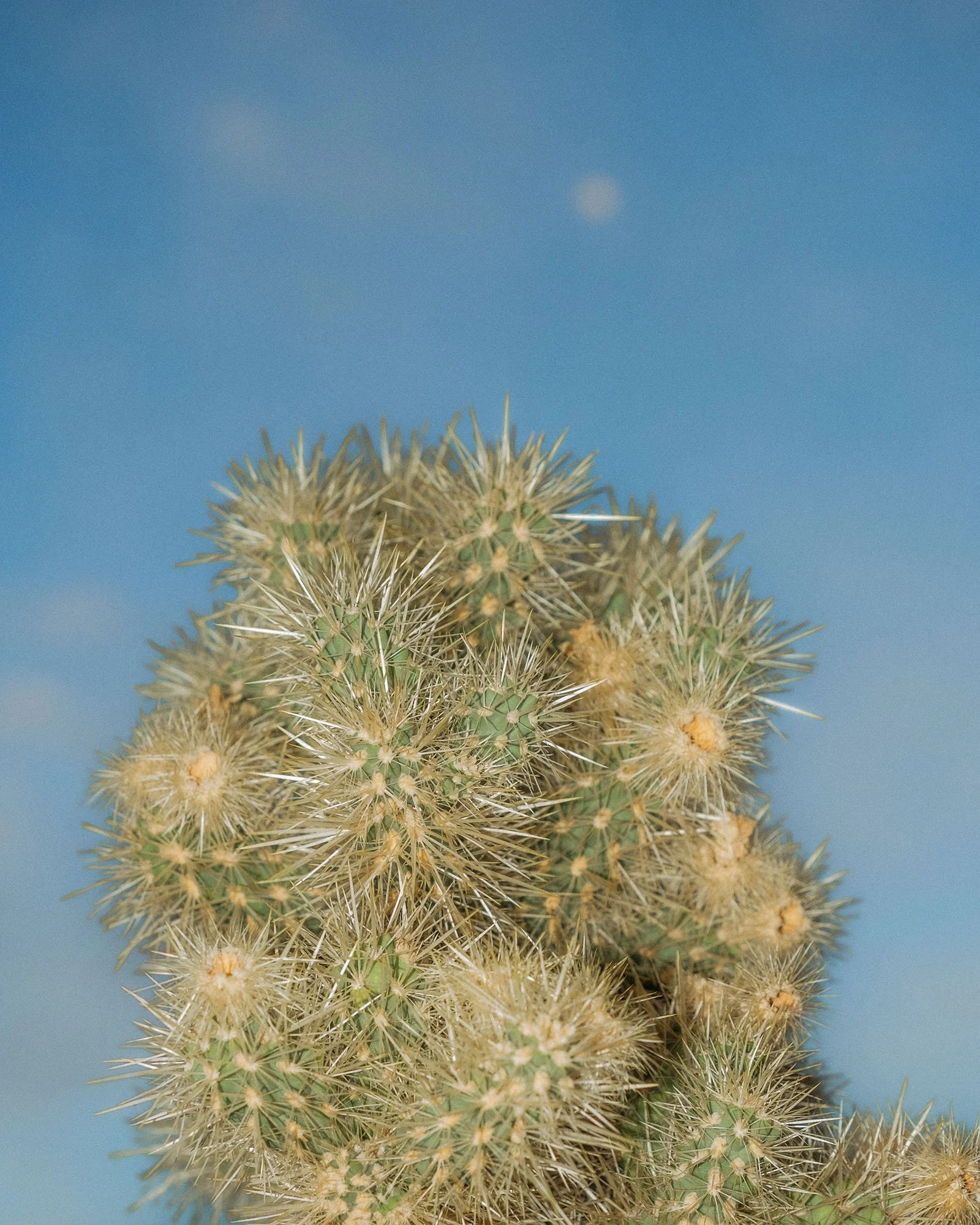
I recently went on a spontaneous overnight trip out to California’s Central Coast with my mom and brother. It was a quick trip, but it was really nice to get away from the Valley heat and to enjoy some time near the Ocean. We first went out to Pismo for dinner and did some exploring around the hotel where we were staying. The views from the back of the hotel were amazing and we enjoyed a great sunset to end the day. The next day we headed up towards Los Osos and Montana de Oro State Park. After doing some hiking there along the bluffs we went up to Morro Bay for the rest of the afternoon where we did some walking around and exploring along the beach. I hope you enjoy the photos, thanks for being here.


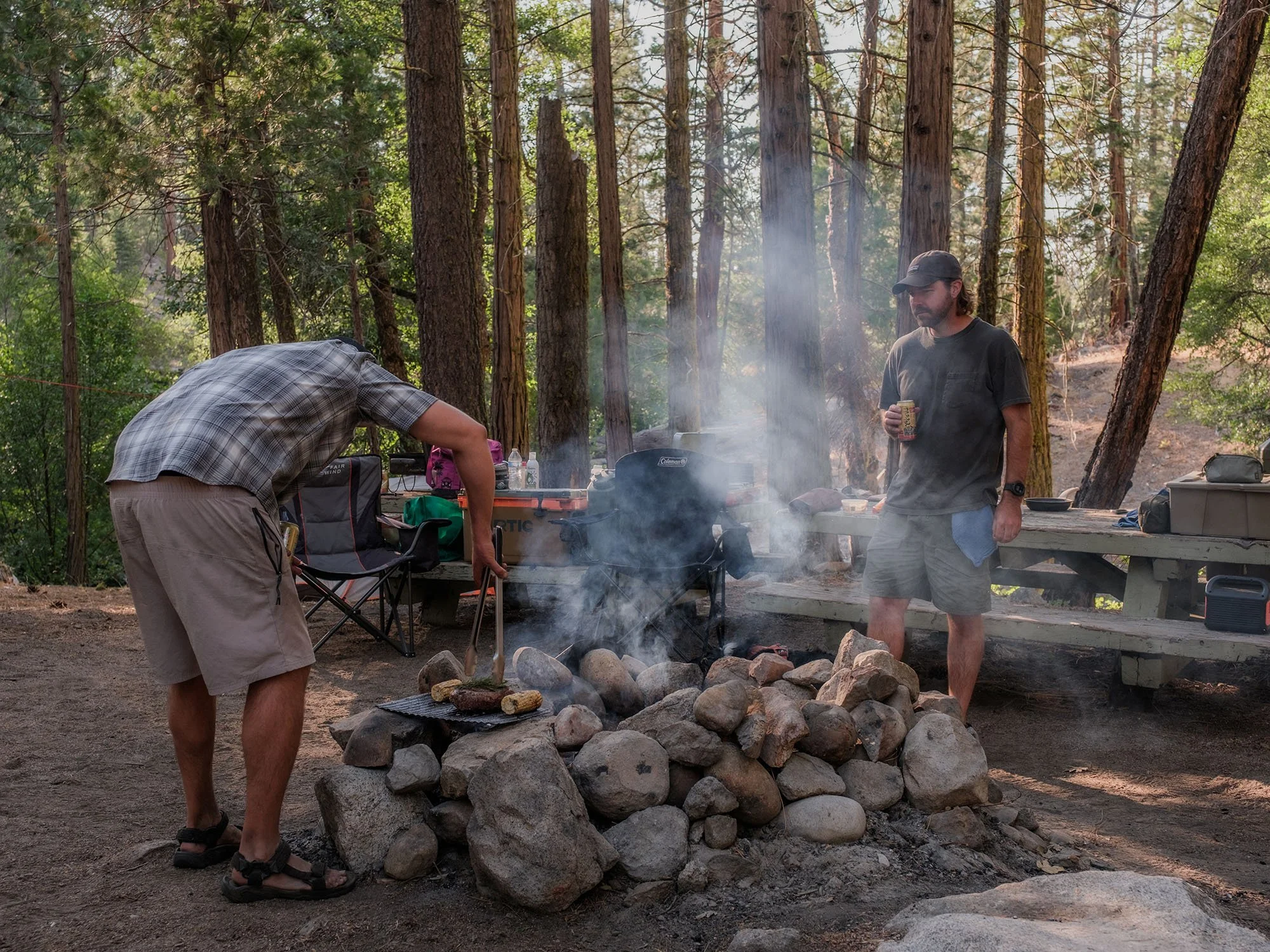
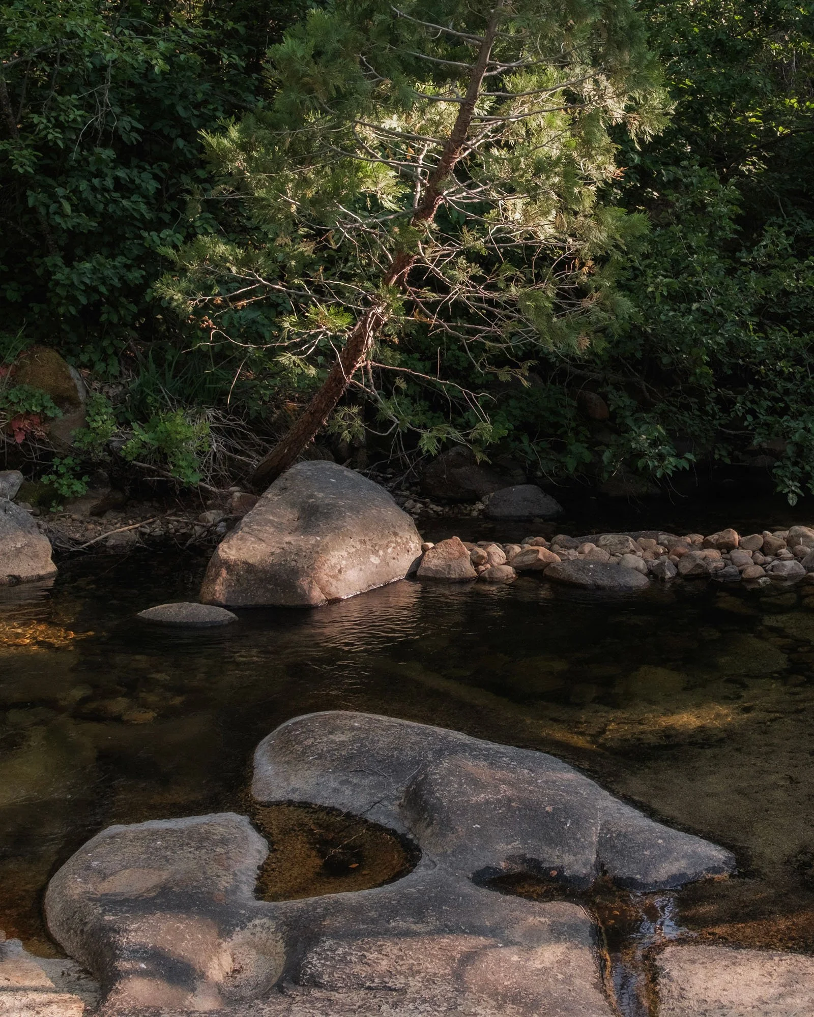
Camping along West Kaiser Creek in the Sierra National Forest.
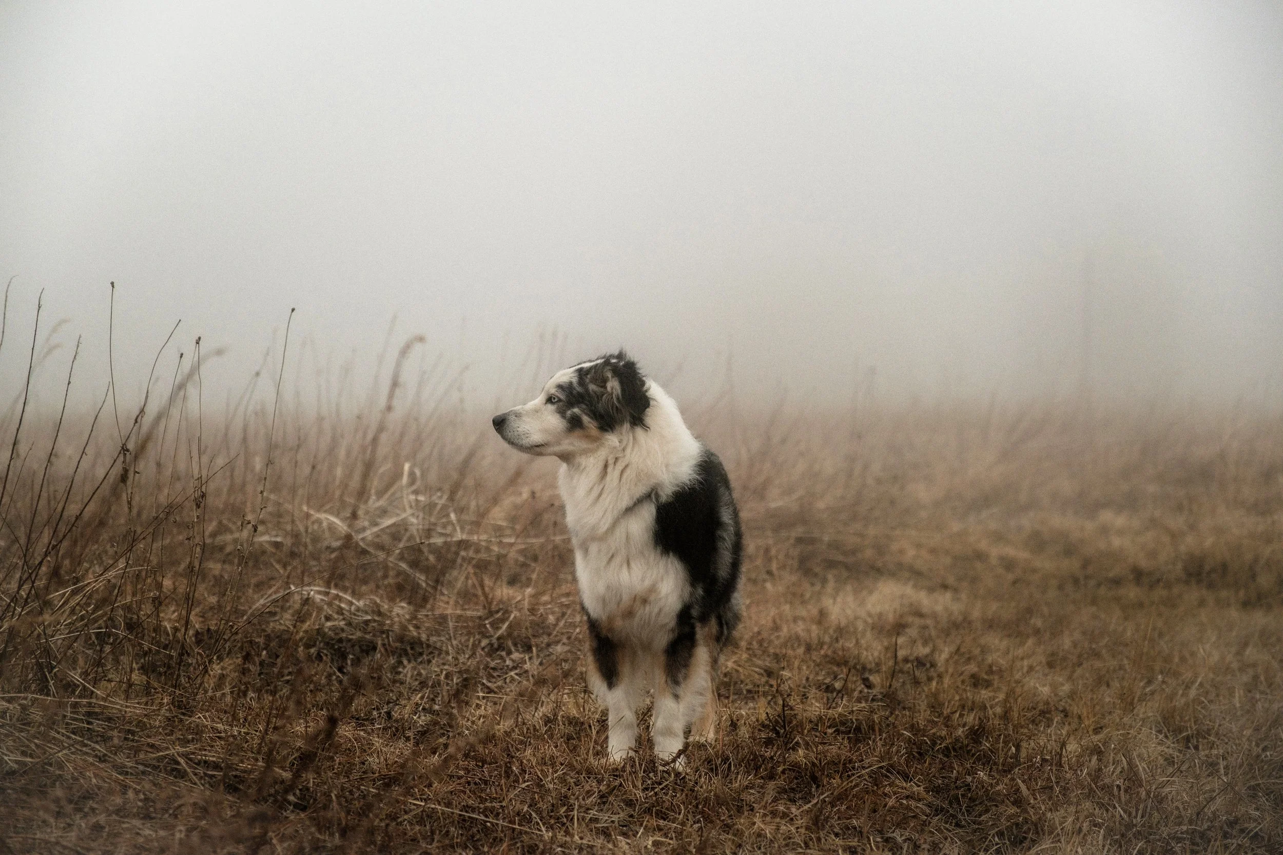
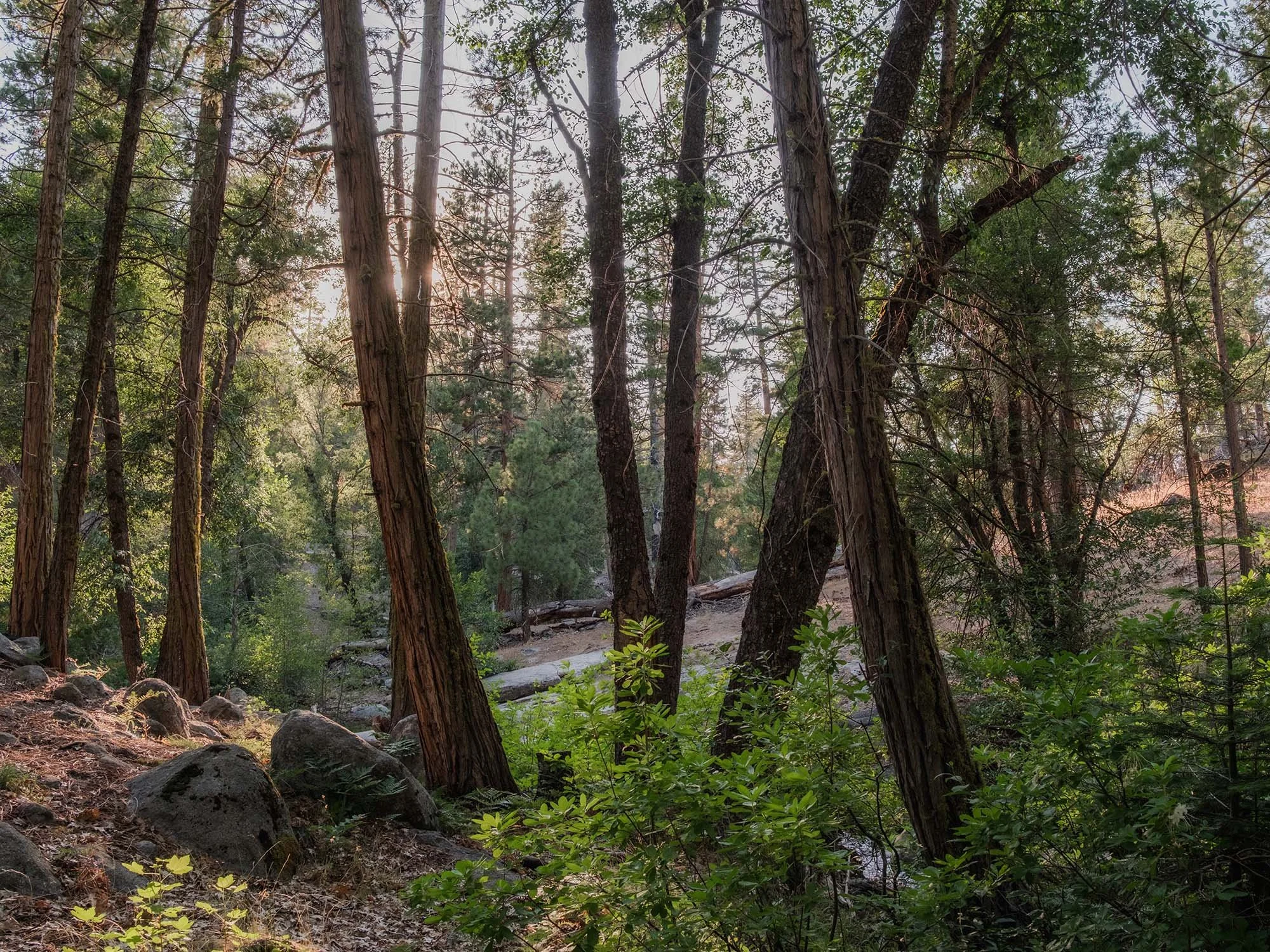
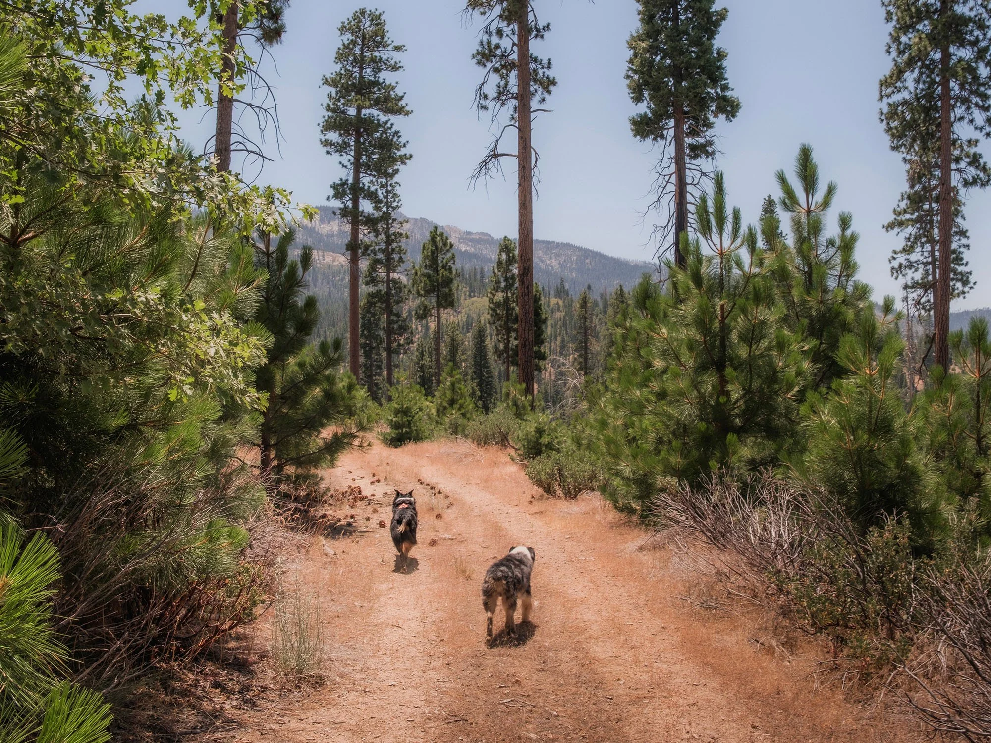
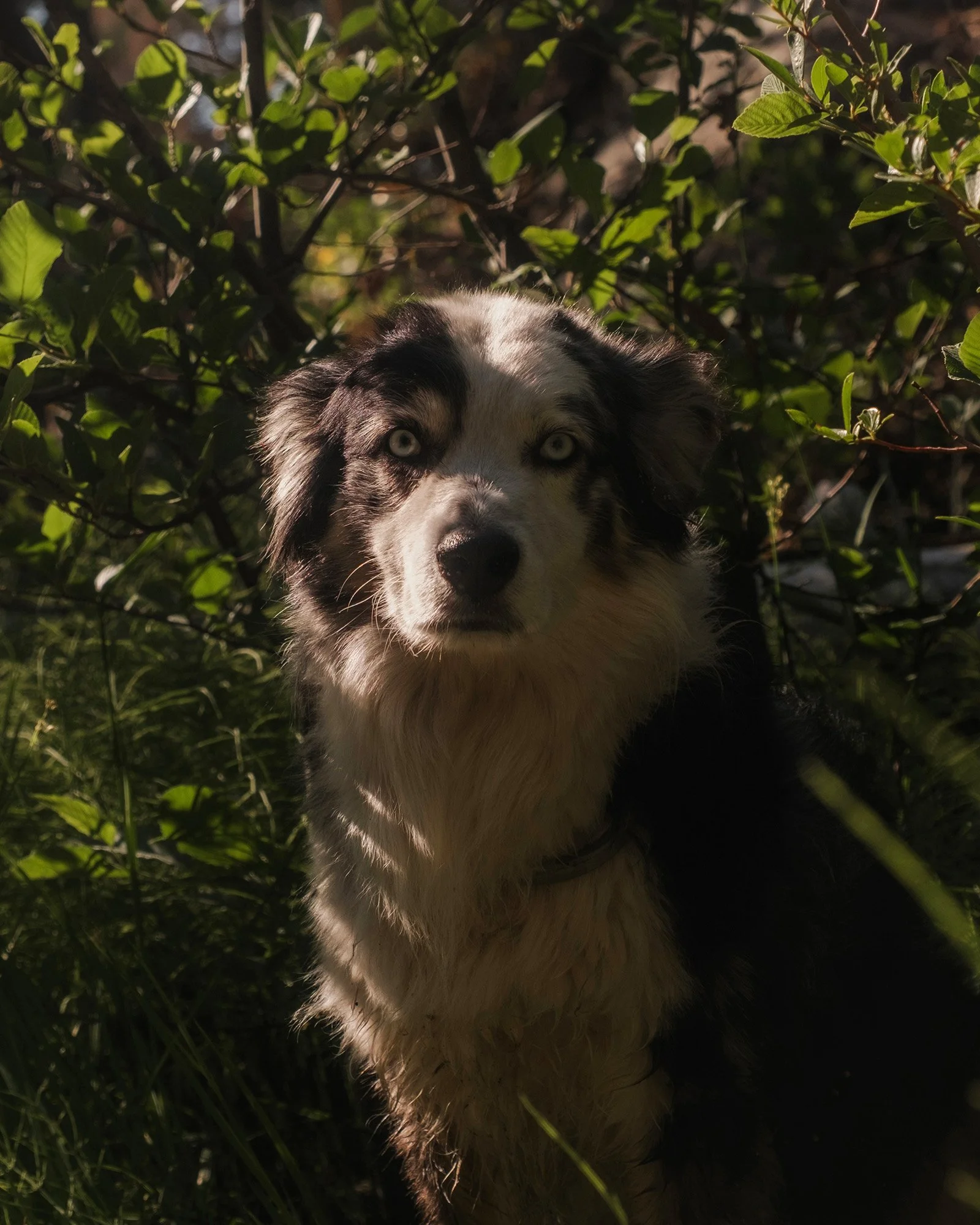
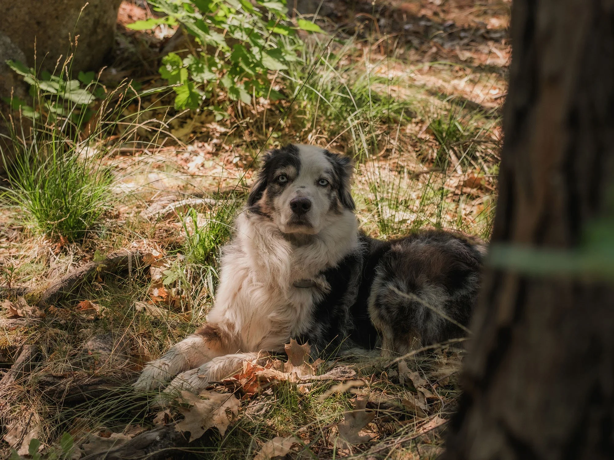
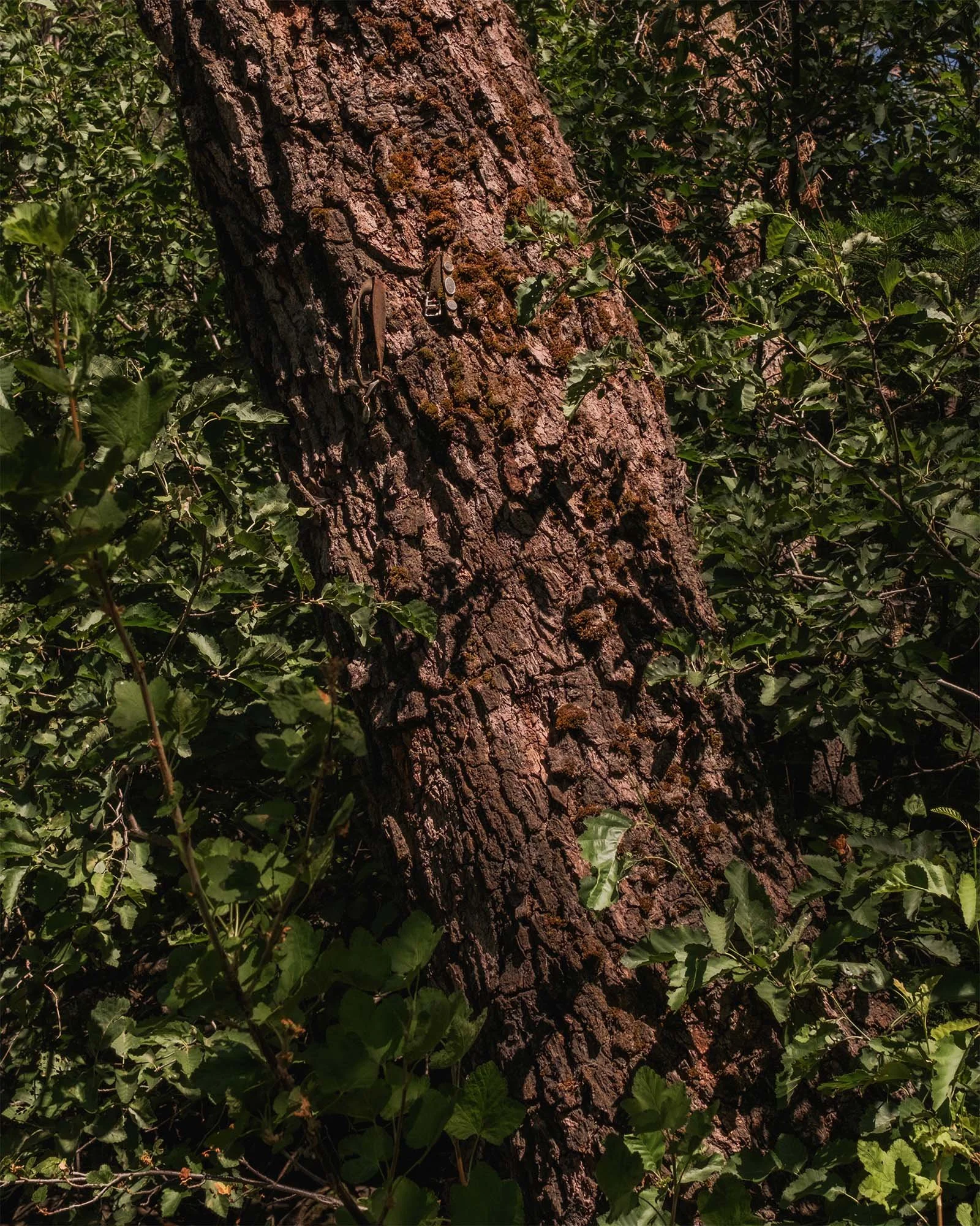
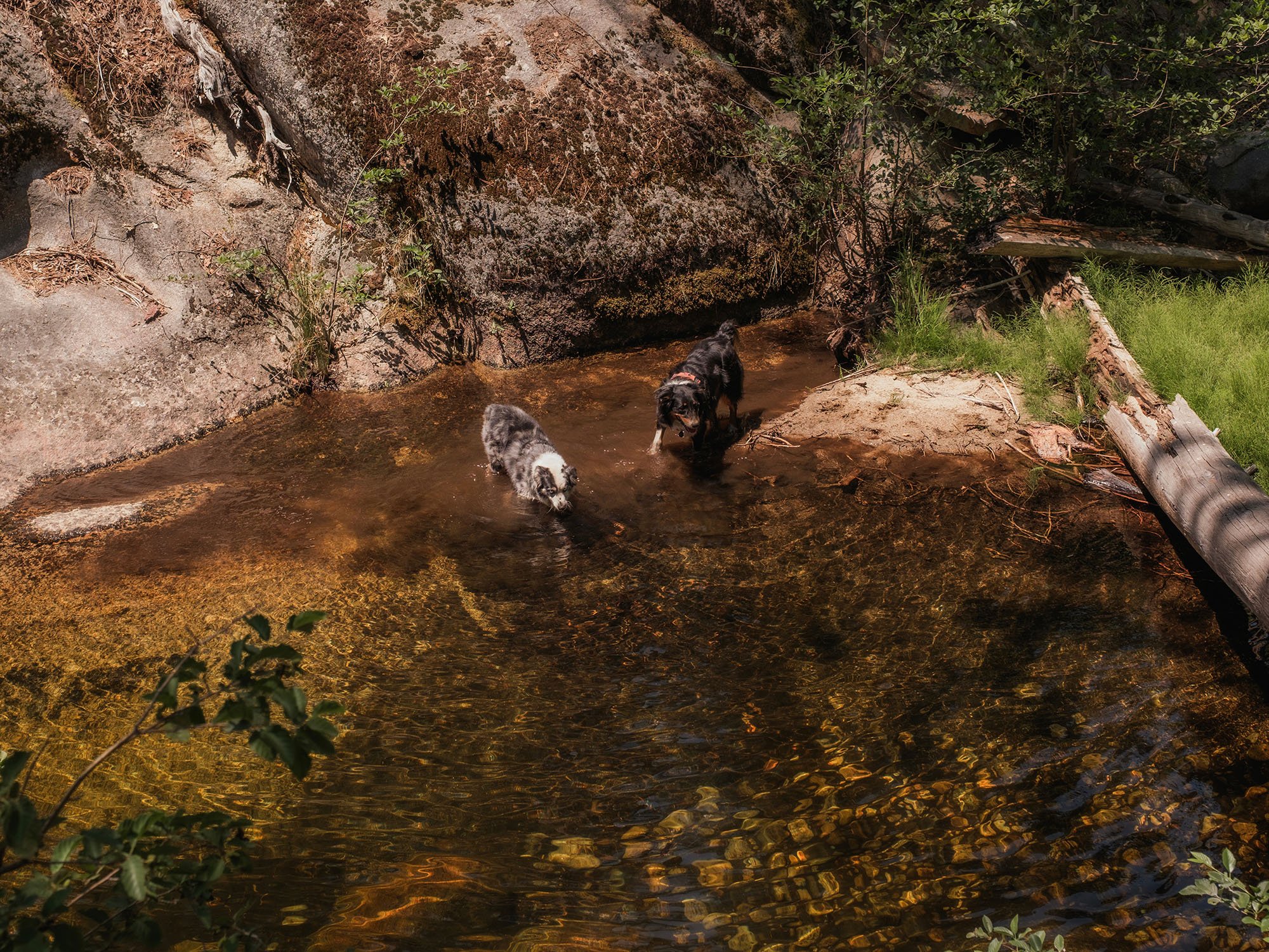
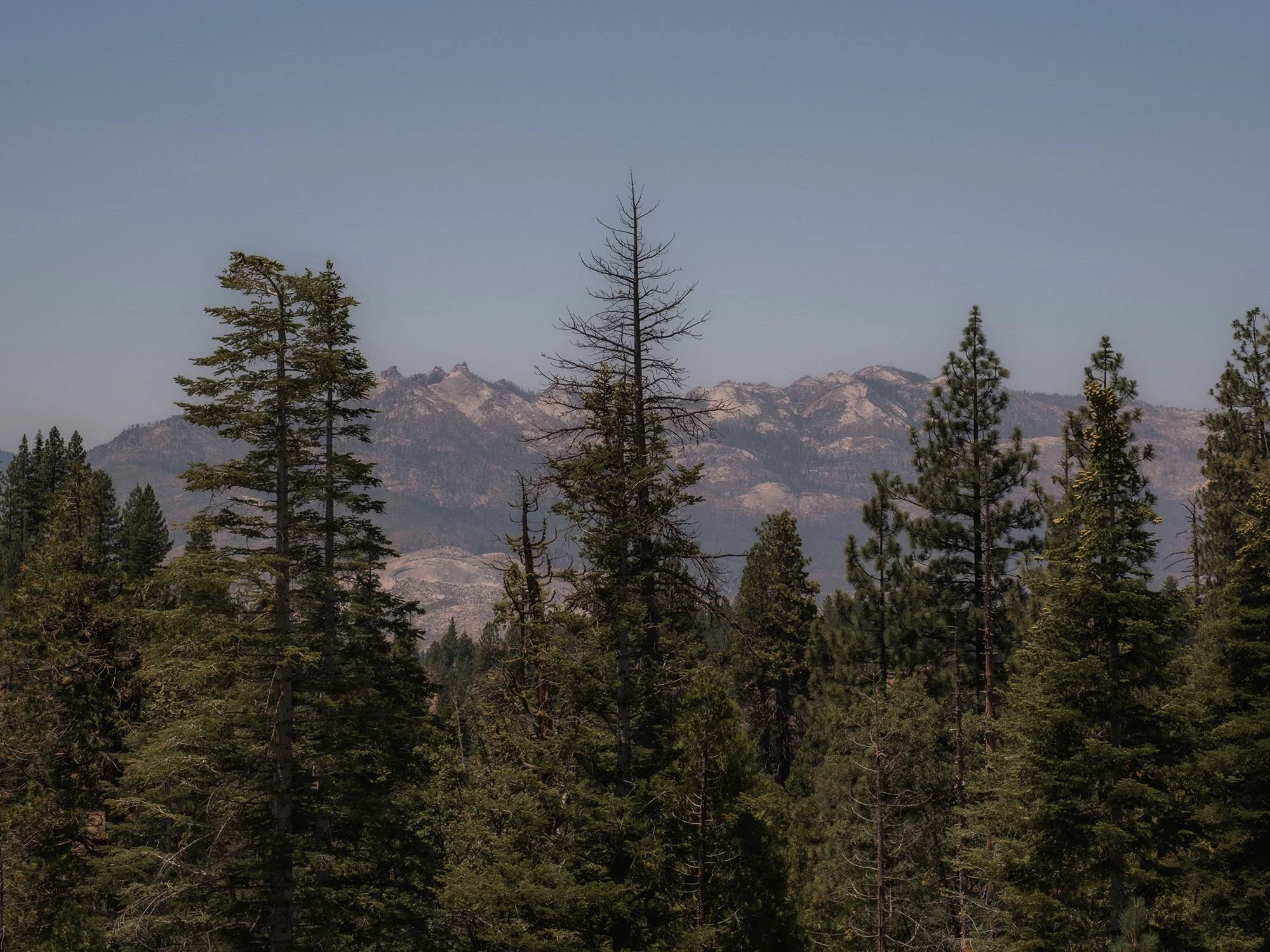
Photos from a recent camping trip. My buddy Ari and I found a great little campsite located along West Kaiser Creek in the Sierra National Forest. We did a lot of exploring around the area and relaxing along the creek. The weather was absolutely perfect. And clearly the pups enjoyed themselves as well.


Hiking the Ultimate Yosemite Valley Loop Trail
In my opinion this is one of the best loop trails in Yosemite Valley. It’s even better during the peak waterfall season. Which is usually late April into May.


There isn’t really a name for this specific trail, at least not one that I’ve seen. It’s more of an accumulation of 3-4 trails that form this entire loop. The trail begins in Yosemite Valley. I park at the Happy Isles Parking Lot which is really close to the start of the trailhead. It begins on a portion of the John Muir Trail which then quickly merges into the Mist Trail. You follow up the Mist Trail Past the Vernal Fall Footbridge, then you begin your journey through the mist up to Vernal Fall. (Pro Tip) Bring a poncho because it will be wet up there!

My best advice for doing this trail is just to make sure that you get an early start. The Mist Trail can get really crowded during this time of the year. I like to start right at sunrise or a little before. It’s so peaceful and usually there aren’t many other people around at this time.


After making it up to the top of Vernal Fall you continue the strenuous climb to the top of Nevada Fall. The views of the Valley and the Falls up here are amazing.
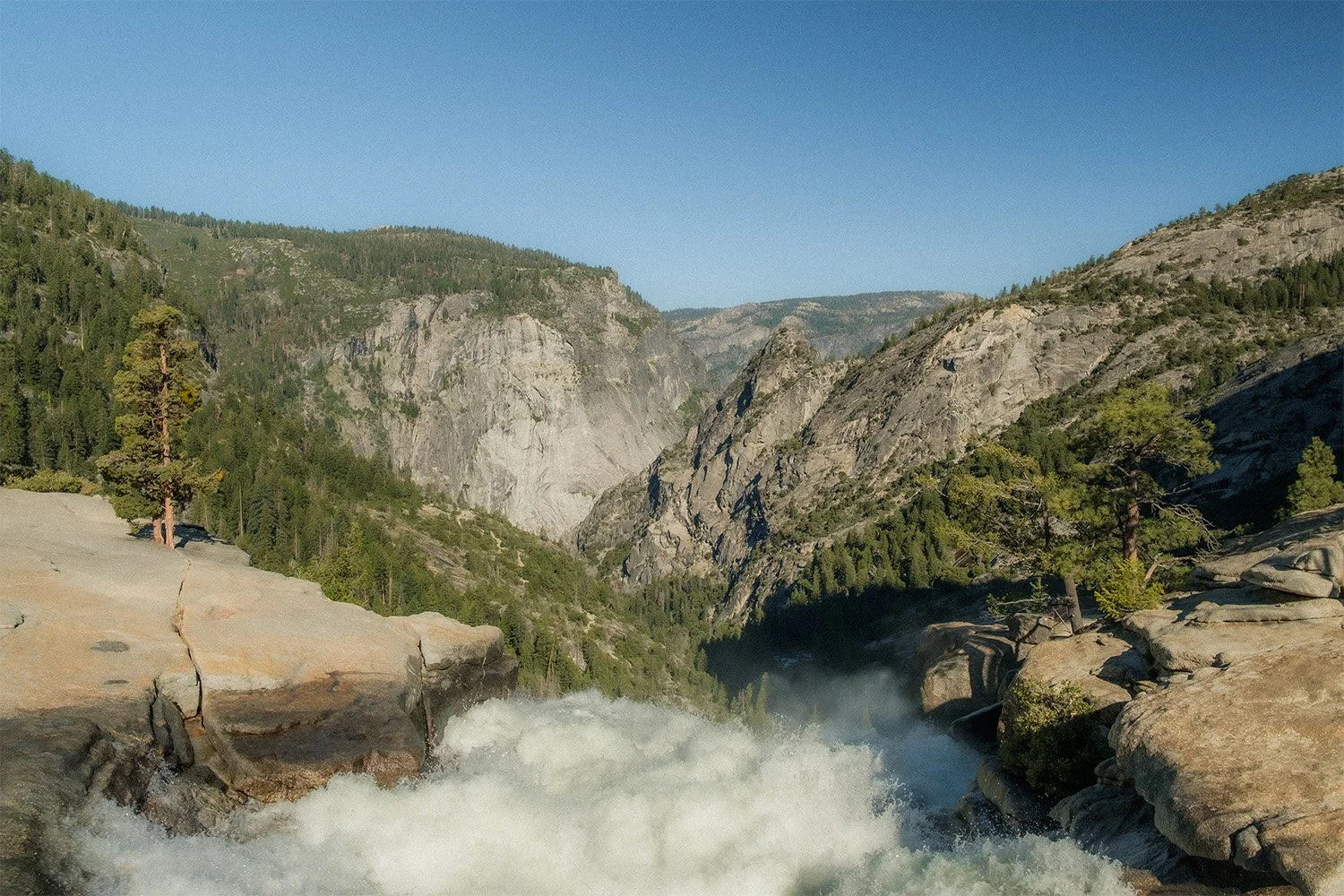


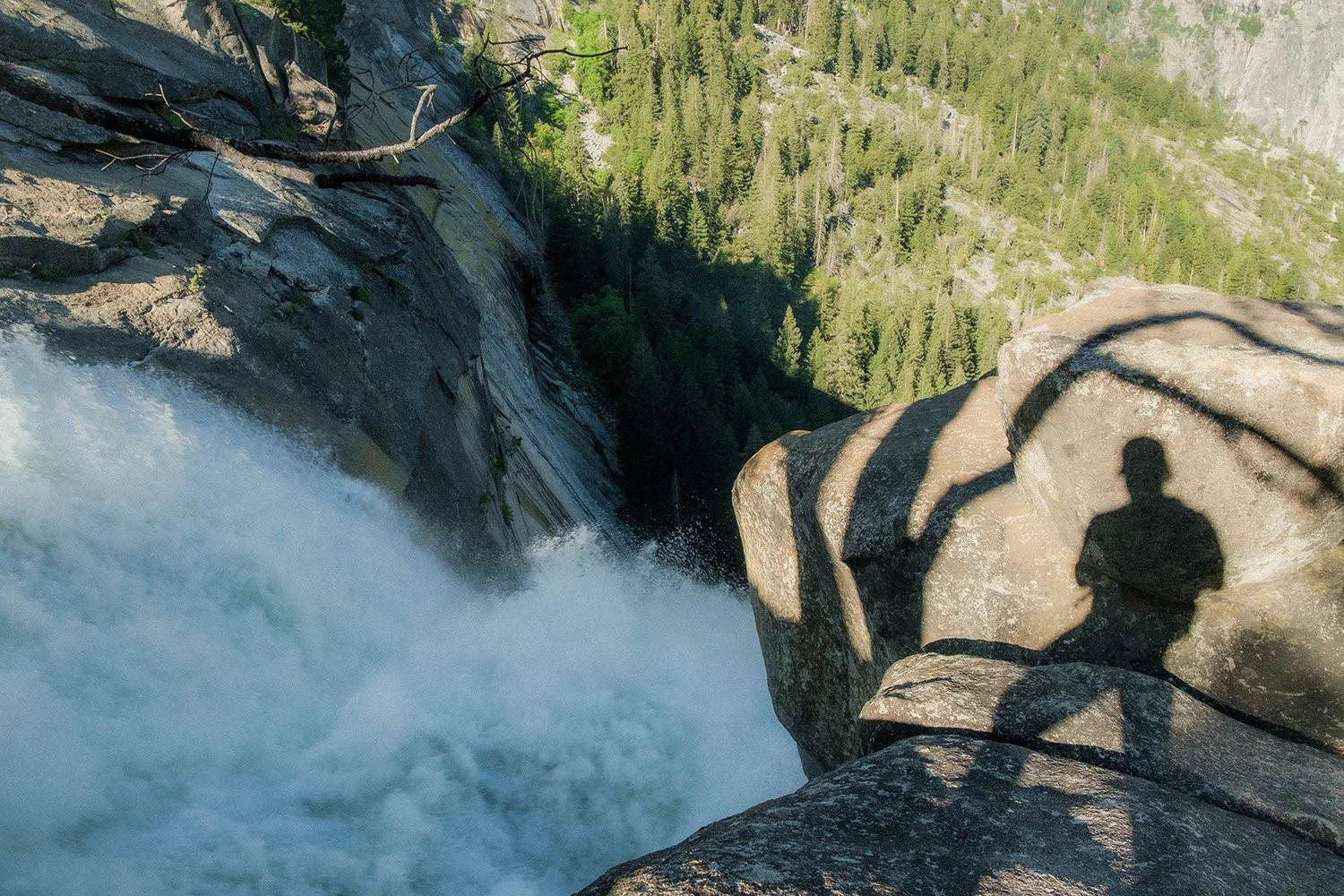

The top of Nevada Fall is a great place to rest and hangout for awhile. You can enjoy the sound of the waterfall and views of the towering Liberty Cap overlooking the river and falls below.
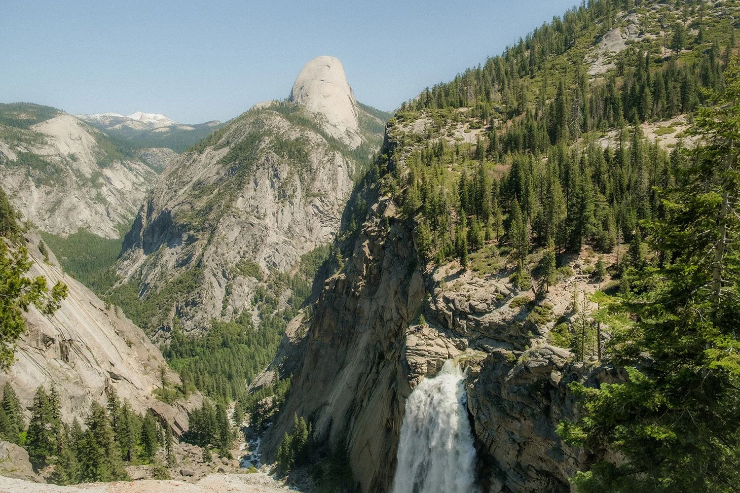
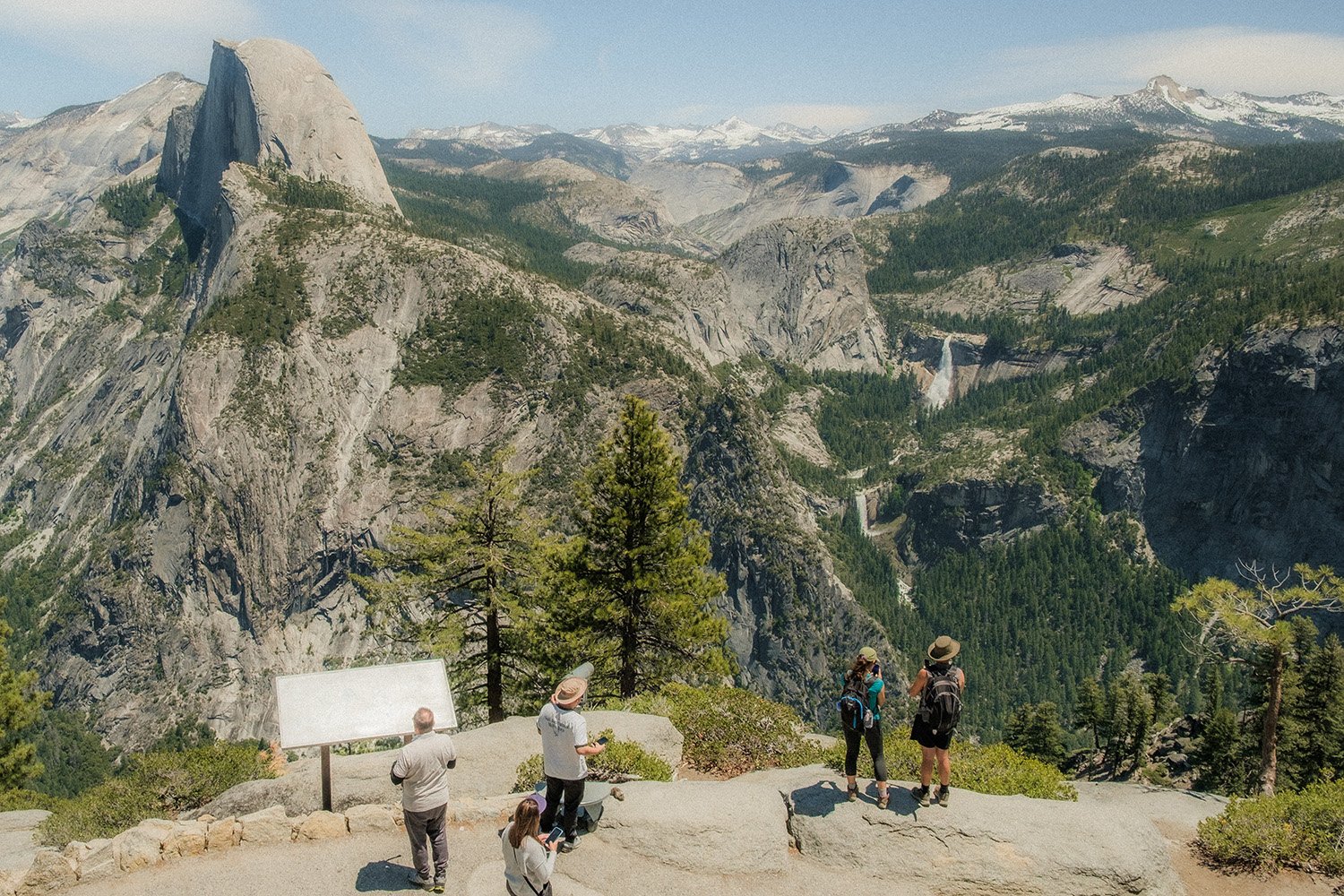
From here you will continue along another little section of the John Muir trail, which will shortly meet paths with the Panorama Trail. The Panorama trail is a beautiful section of trail that leads you along the Panorama Cliffside. This whole section has stunning views of Vernal and Nevada Falls. And you will see Half Dome pushing up into the sky above the waterfalls and the Valley.


Make sure to stop at Panorama Point for the best sweeping views of the Valley below. After Panorama Point there will be a river crossing and soon after an amazing view of Illilouette Fall with Half Dome in the back ground.

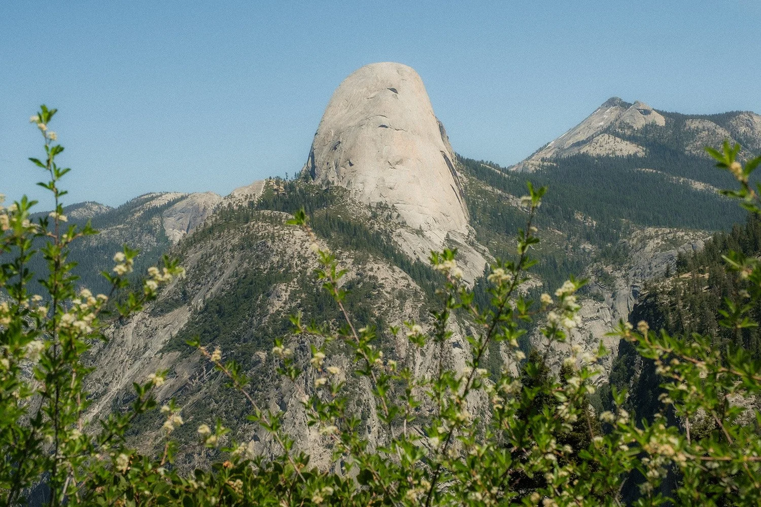

As you continue up the Panorama Trail towards Glacier Point the views of Half Dome just keeping better. You start on the back side and the angle changes as you progress up the trail, exposing the frontside of the dome.
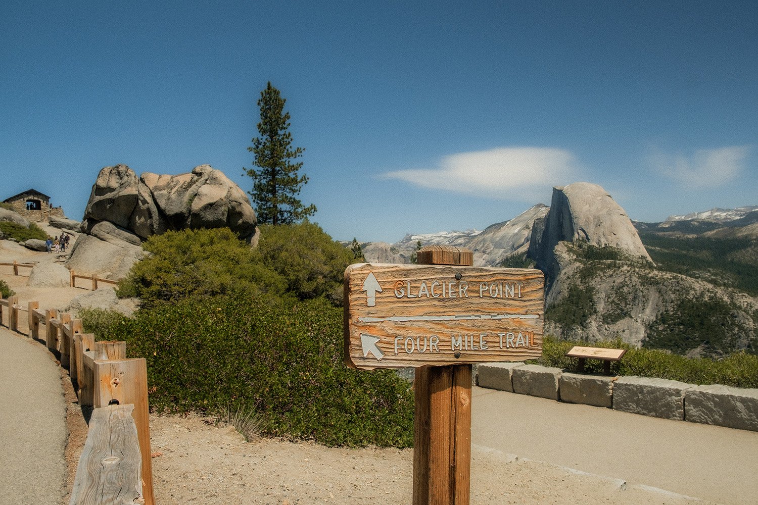
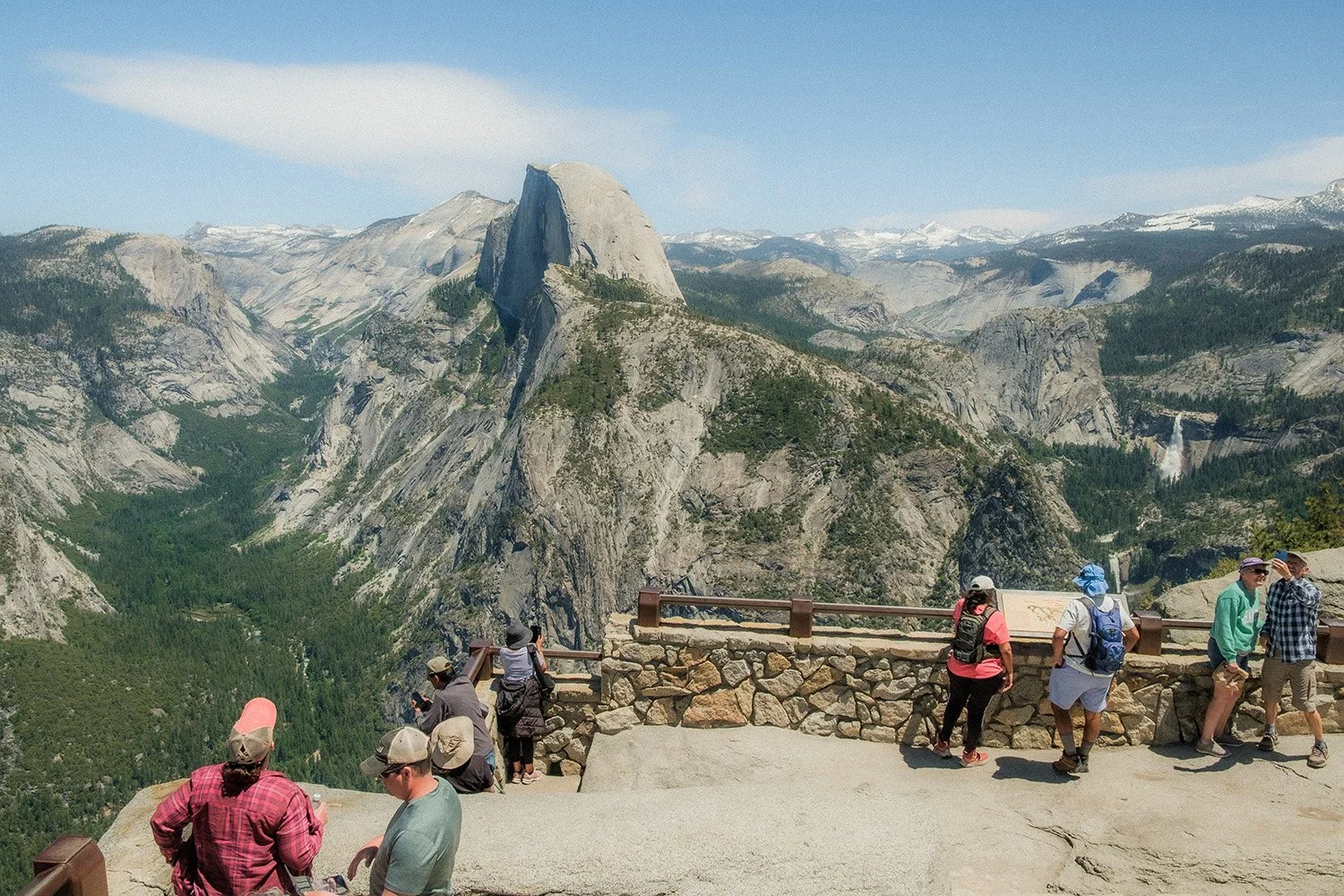

I always love these classic views from Glacier Point. This is also a great place to stop, rest and relax for a bit. I got up here around lunch time so I enjoyed the views and did some people watching as I ate my peanut butter and jelly sandwich :)


The last leg of the trail after you’ve spent some time at Glacier Point is making your way back down to the Valley via the Four Mile Trail. This is quite a steep section with A LOT of switchbacks so be ready for it. There are some great views of the Valley and Yosemite Falls as you make your way down the trail.


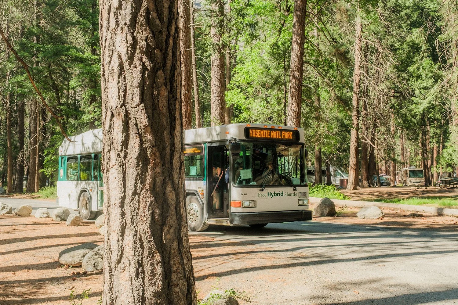
Lastly, I want to thank the driver of this Shuttle. By the end of the Four Mile Trail my feet were done for. I didn’t want to walk any further. Luckily the Shuttle came by at the end of the trail and I hitched a ride for the last 2.5 miles through the Valley and was dropped off right in front of the parking lot! Life Saver. So I definitely recommend taking the Shuttle back to the parking lot at the end of your hike.
Thank you for following along. I hope you enjoyed seeing and hearing about my adventure on this trail. And I hope that you might be able to go out and hike this trail yourself sometime. If you want any help with the mapping or planning feel free to reach out. I’d be more that happy to help you out! Also, don’t forget to sign up for my newsletter if you’d like to keep up with upcoming adventures!
Yosemite's Tallest Waterfall ~ Hiking The Yosemite Falls Trail
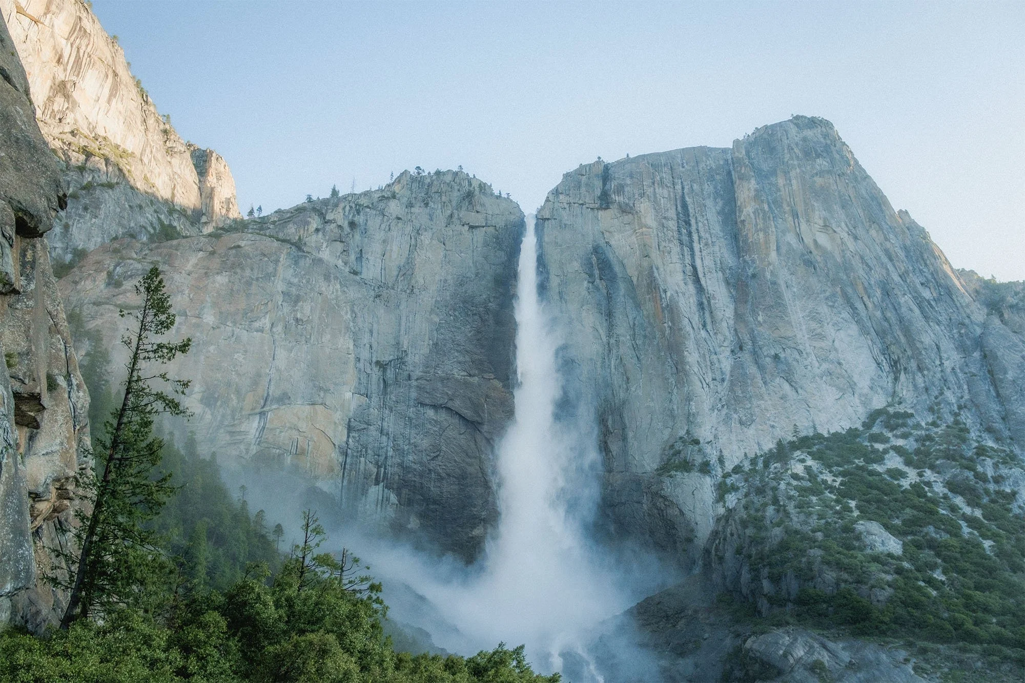
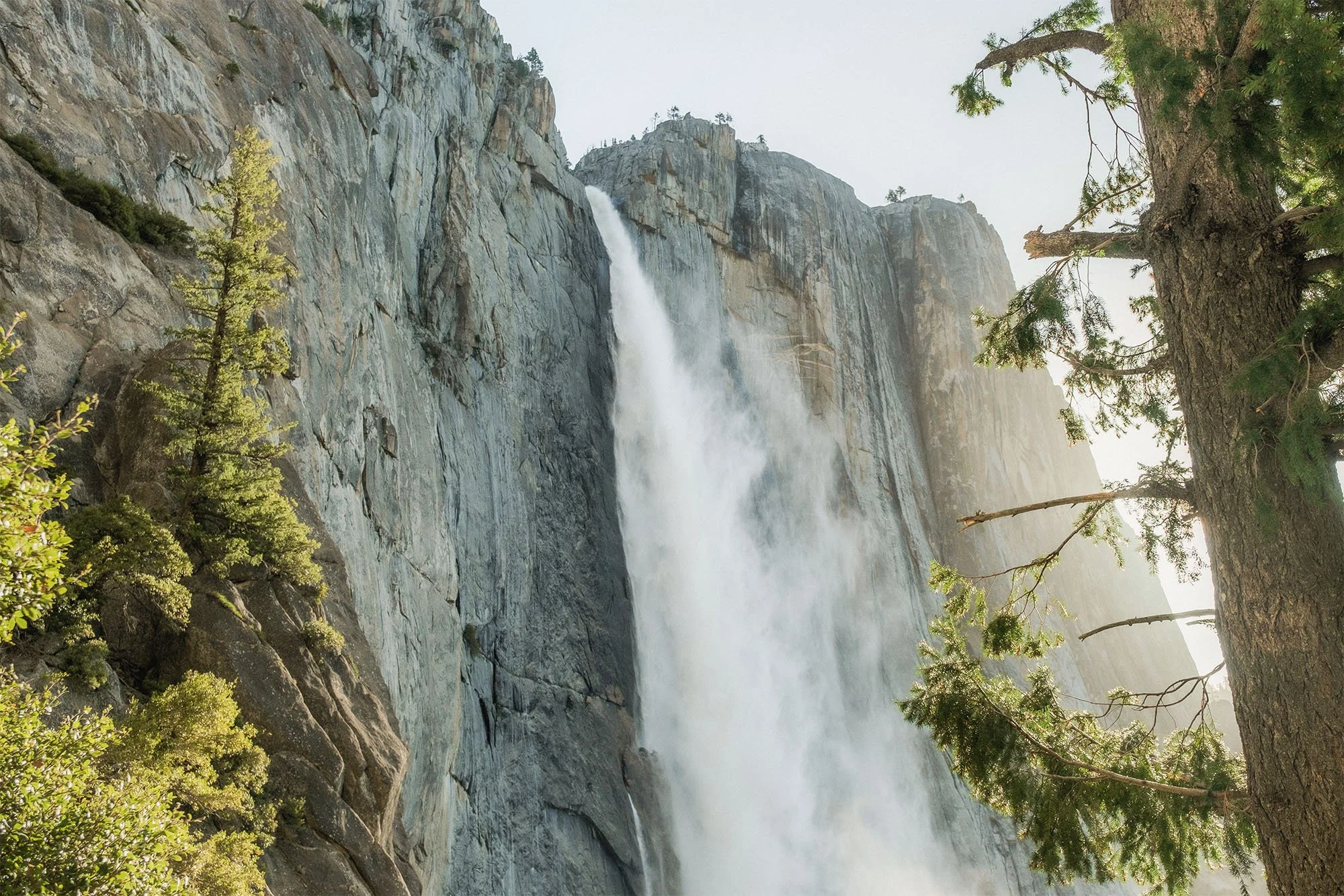
The Yosemite Falls Trail is one of the oldest historic trails in Yosemite. It was built between 1873 and 1877. It leads to the top of North America's tallest waterfall, which stands at 2,425 feet (739 meters) above the Valley floor. The trail is known for its challenging terrain, with steep climbs and numerous switchback.
View from Oh My Gosh Point
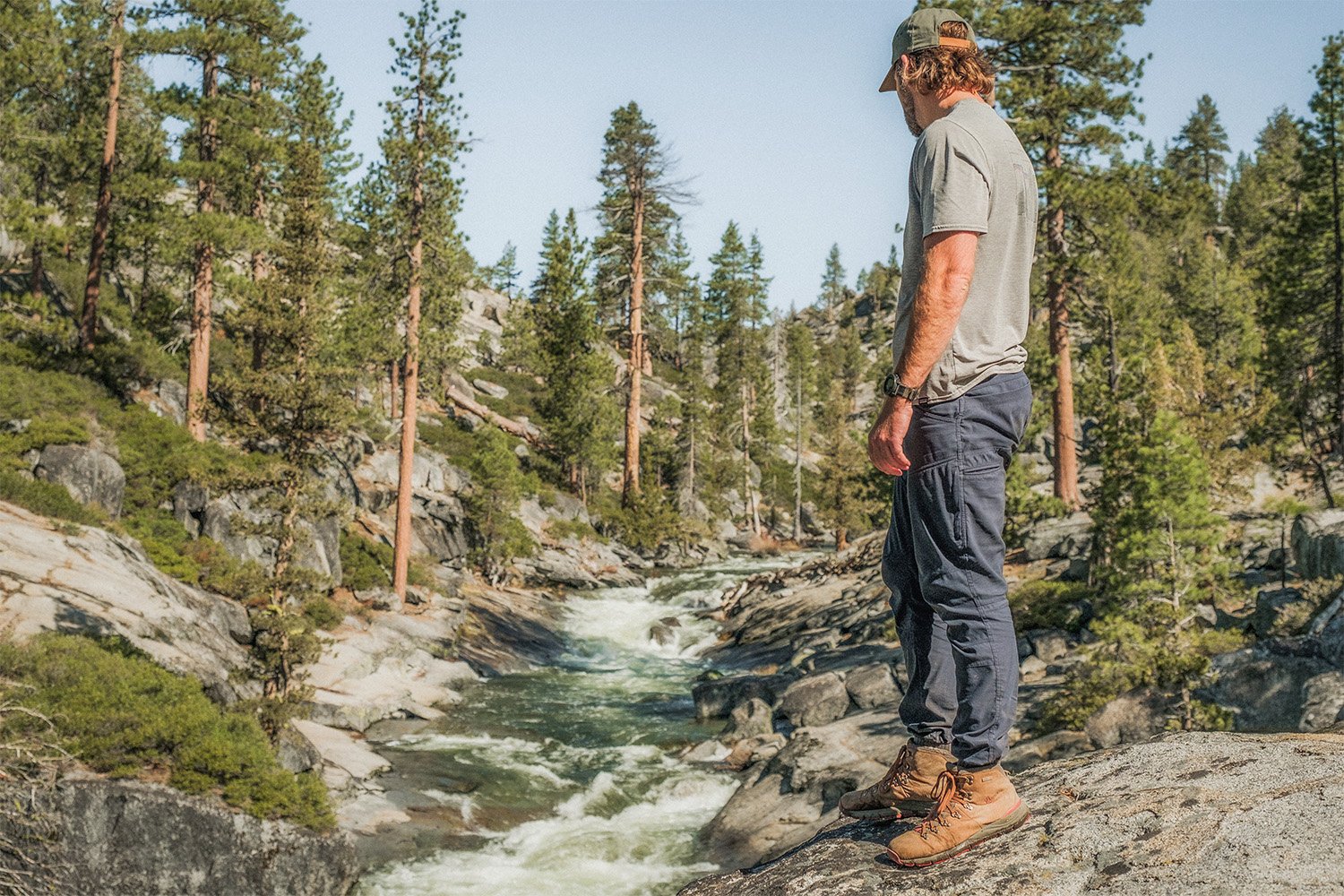
I always prefer to start hiking in Yosemite early in the morning. Especially during the busy season, and this week that I went was during Spring Break. So I woke up around 3:30am on the day of the hike, made a quick mug of coffee and hit the road. It’s about a 2.5 hour drive to Yosemite Valley from where I live in Fresno, California. I was on the trail just before 6am. The perfect time! It was a cool and peaceful morning. The sun still wasn’t over the peak of Half Dome. I was one of the only handful of people on the trail at the time, and I was basically alone hiking up. If you want some solitude while hiking in Yosemite, especially in the Valley, start early. Preferably before sunrise.
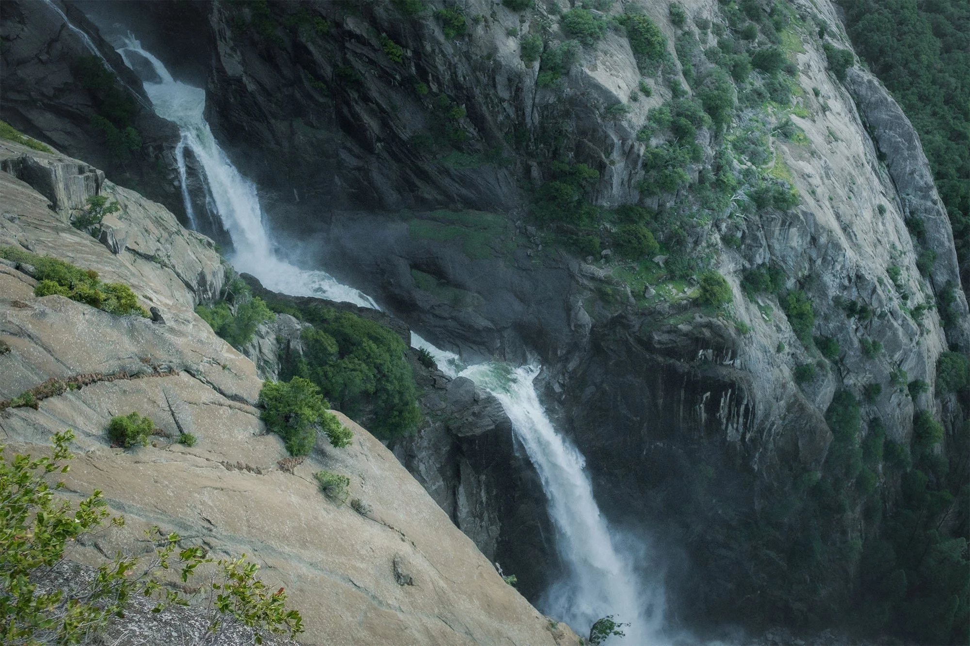

About a mile and a half up the trail soon after you pass Columbia Rock, there is a somewhat hidden trail that veers off the main trail to the right. Off to the side of the mountain. This short trail leads to an amazing viewpoint called Oh My Gosh Point. There’s no trail marker for this, so It can be easily missed and passed up if you aren’t paying attention, or don’t know that it’s there. The views are definitely worth the small detour. At this point you can get a really good view of the full waterfalls including the section in the middle know as the Middle Cascades.

The trail is an up and back trail and approximately7.2 miles, probably a little more, depending on how much meandering you do once you get up there. It’s also quite a climb, with a total elevation gain of more than 3,000 feet. But there are plenty of beautiful views to keep you distracted as you make you way to the top.


The views at the top are amazing. And the waterfalls are always flowing strong in late April through May.
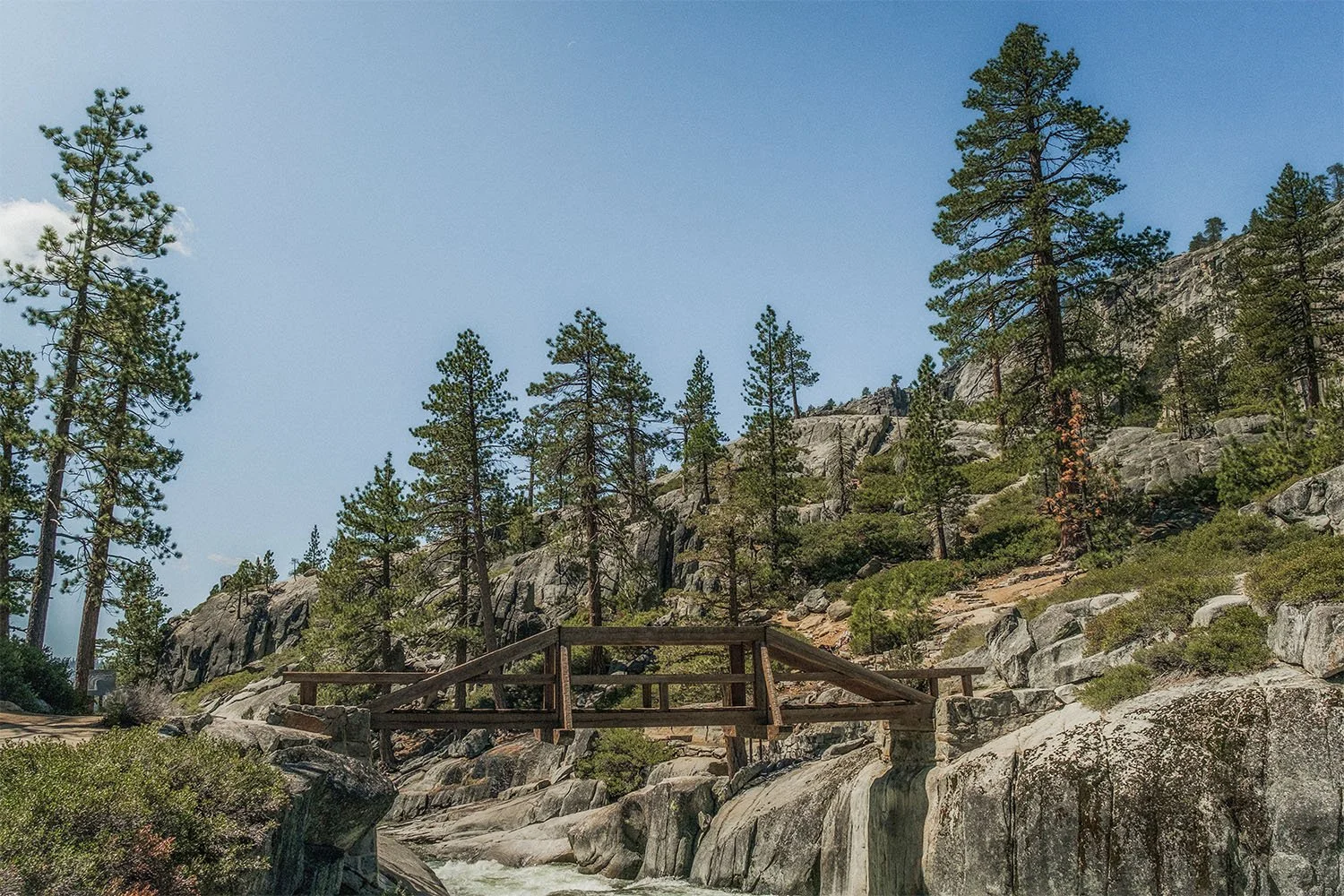
The Bridge Over Yosemite Creek


After I went to the Upper Yosemite Fall Viewpoint I ended up crossing over the bridge and finding a nice spot along the creek to relax and have lunch. There are a lot of beautiful spots to check out and explore around the top. You can easily spend a full afternoon up there enjoying nature and relaxing to the sounds of the creek.

I also have a video uploaded on Youtube if you want to enjoy a more in depth look at the trail and all the view that it has to offer!
A California Desert Road Trip
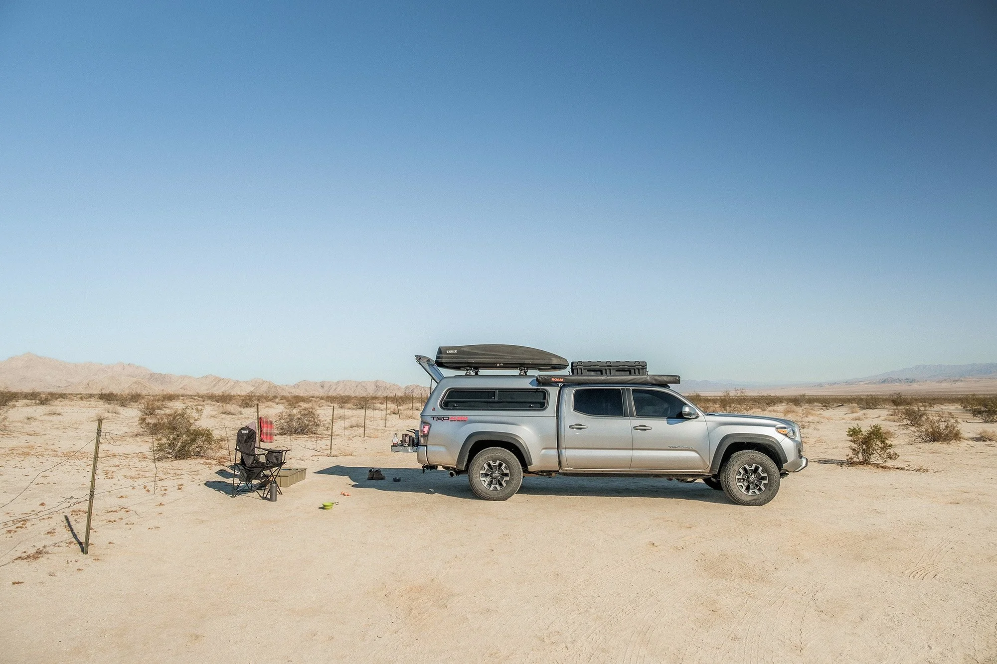
At the beginning of March, 2025 I took off for a 1 week, 1,200 mile road trip around the desert of Southern California. I exclusively camped out in my truck camper at various campsites and public land areas along the way. These are some of my favorite photos from the trip.
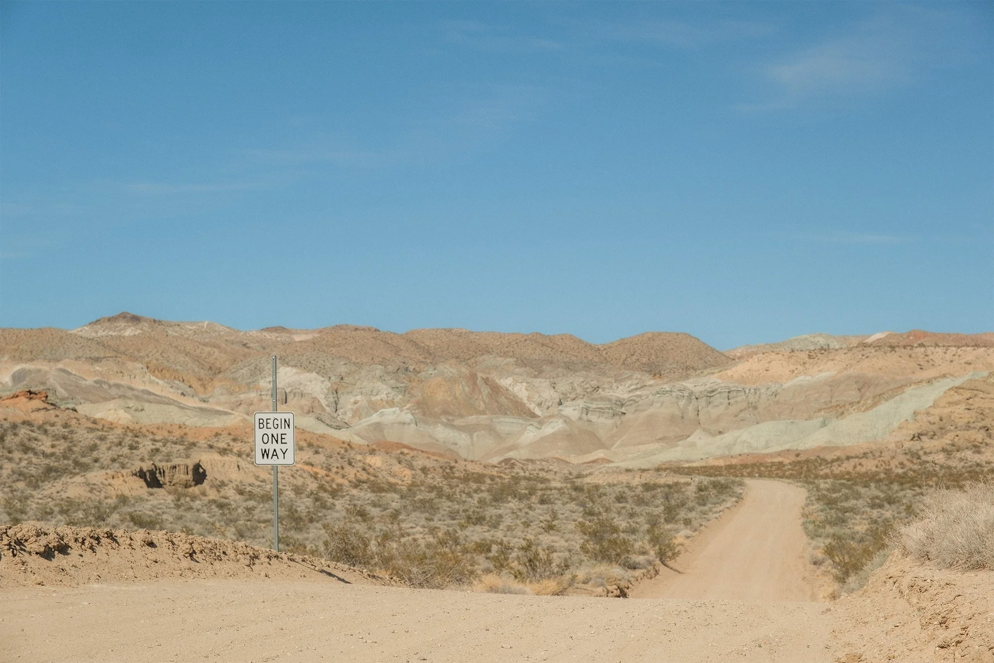
Day 1 mostly consisted of driving from Fresno, CA to a campground near Barstow called Owl Canyon. Which is a public campground maintained by the BLM. On Day 2 we went and explored an area nearby called Rainbow Canyon.

The view from our campsite near Owl Canyon

Shaver exploring during Sunset
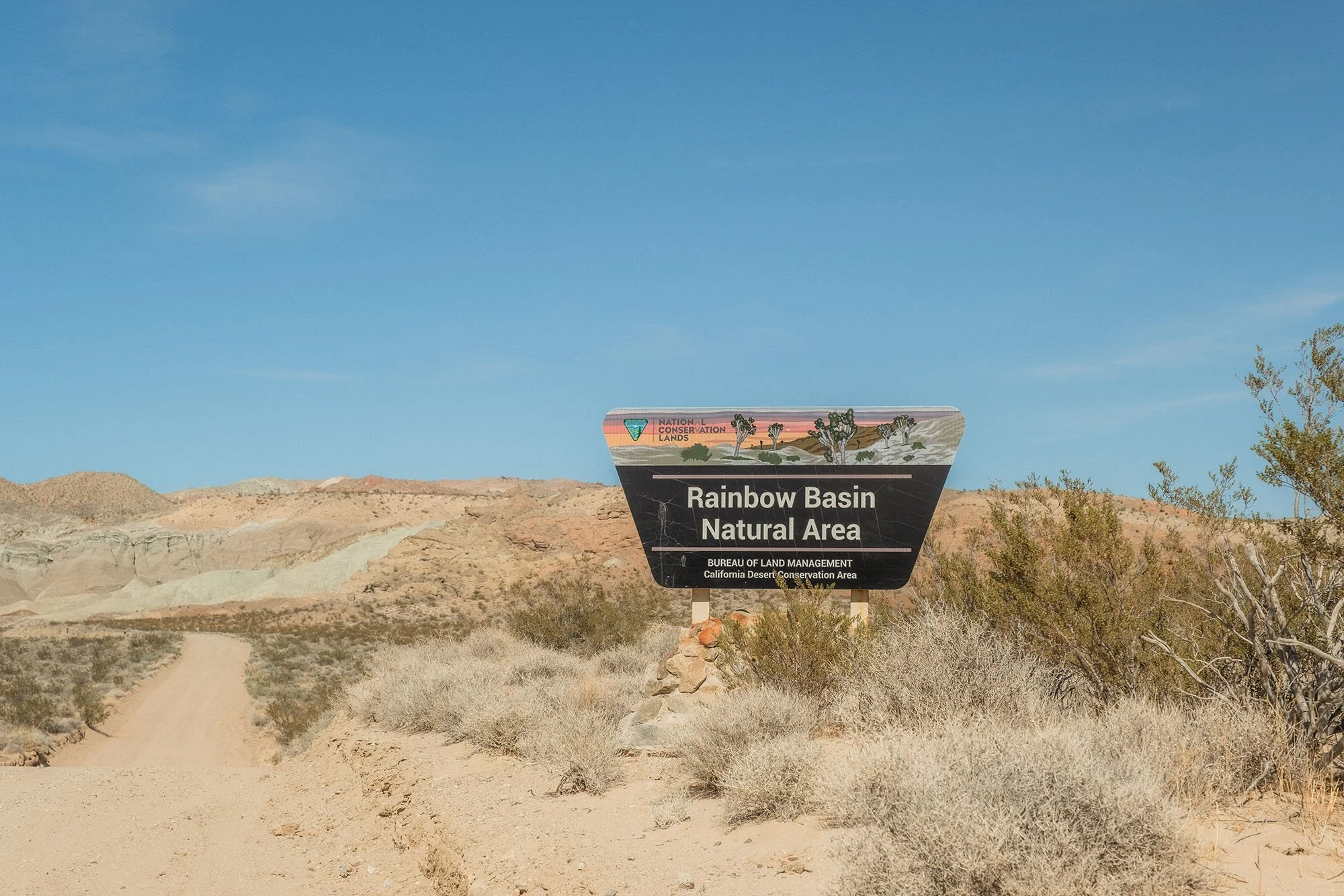
Rainbow Basin


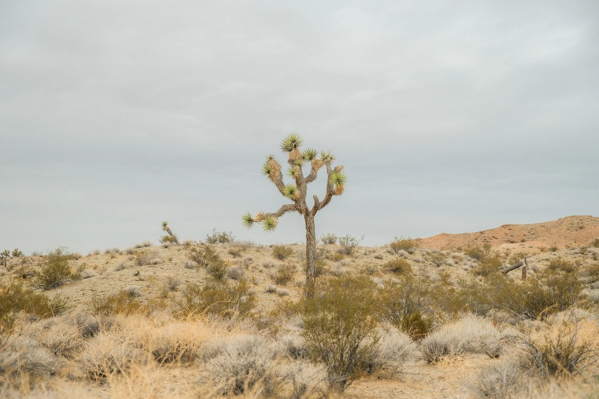
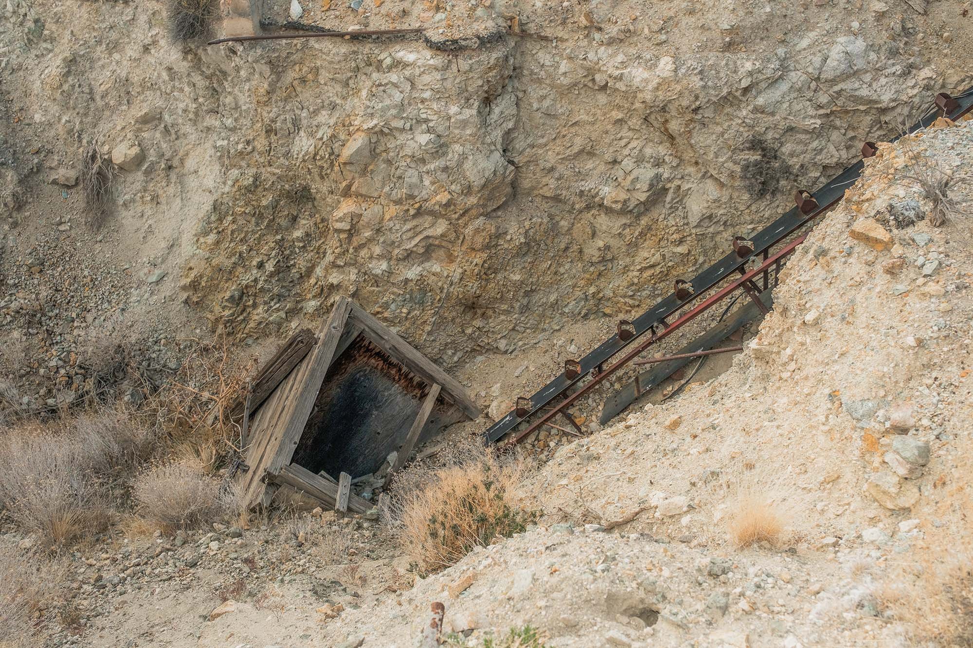
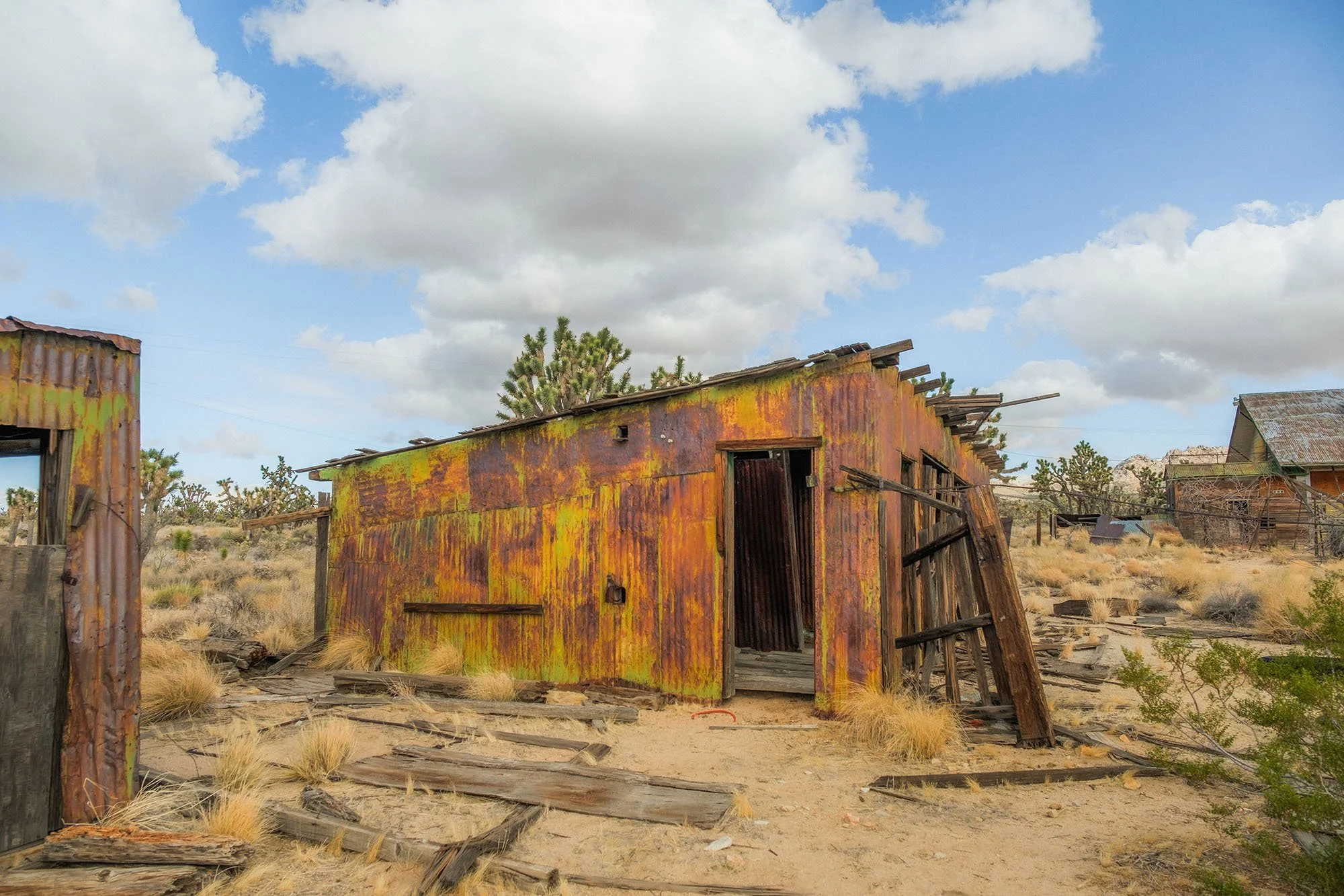
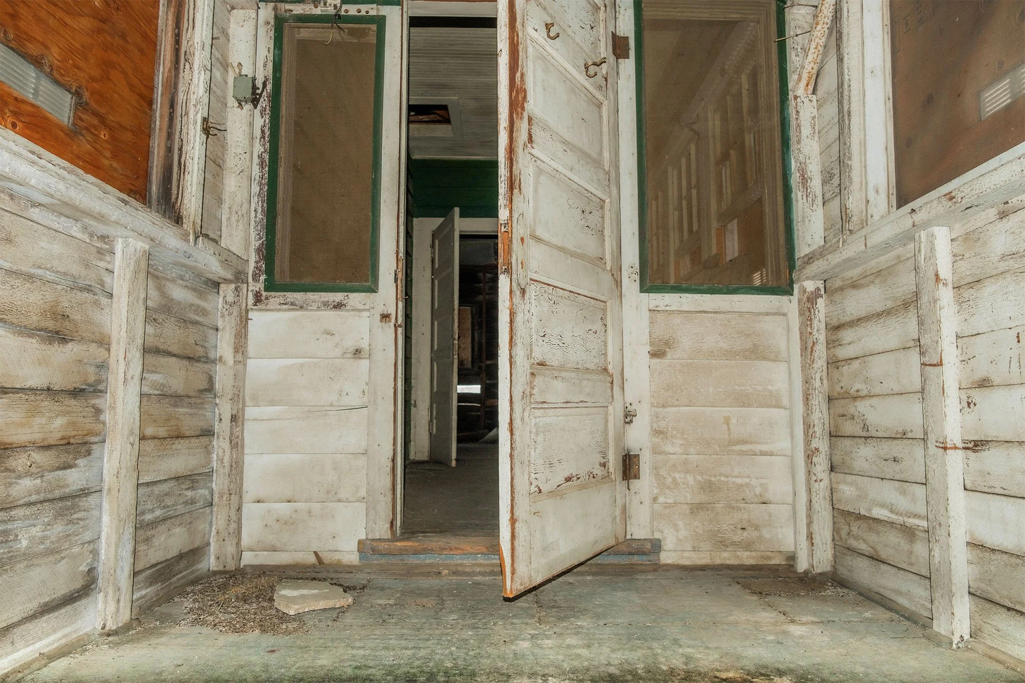
The next part of my trip was into the Mojave Preserve (which is probably one of if not my favorite areas in the California Desert. My first stop in the Mojave Preserve was to explore an abandoned mining town/camp called The Death Valley Mine (not sure why it was named that because it’s not in Death Valley. This place was so cool and there is so much history out there to see. Also the road leading there was awesome and the scenery surrounding the town was so beautiful. I enjoyed this area a lot.

The Road to the Death Valley Mine in the Mojave Preserve.


There are so many fun roads to take in the Mojave Preserve.
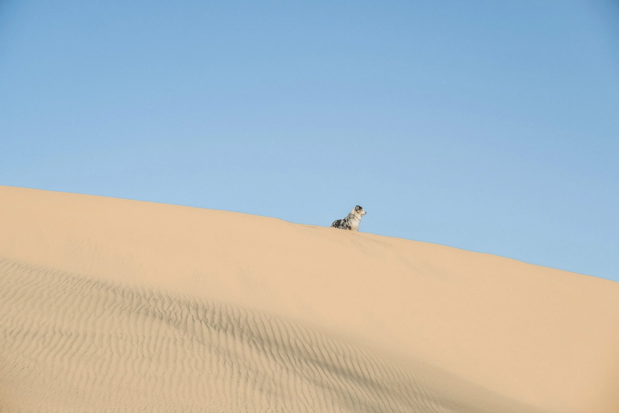
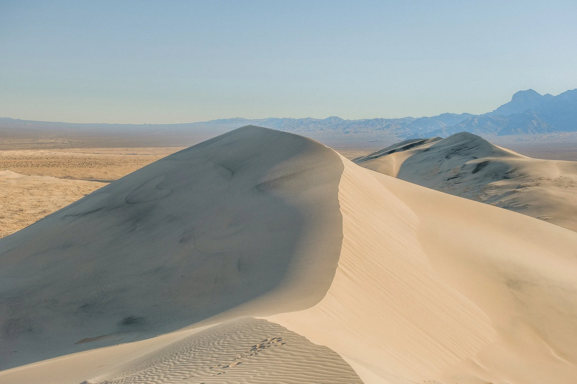
After exploring the Death Valley Mine we headed to the Kelso Dunes where we spent a couple of days exploring and just hangin’ out. The wind was quite strong all day the first day. I had initially planned to hike up to the top of the dunes the first day I was there, but I ended up waiting until the next day after the winds died down a bit. The sunsets were amazing both days and it was just really beautiful and serene out there.

Our boondocking spot for a couple of days.

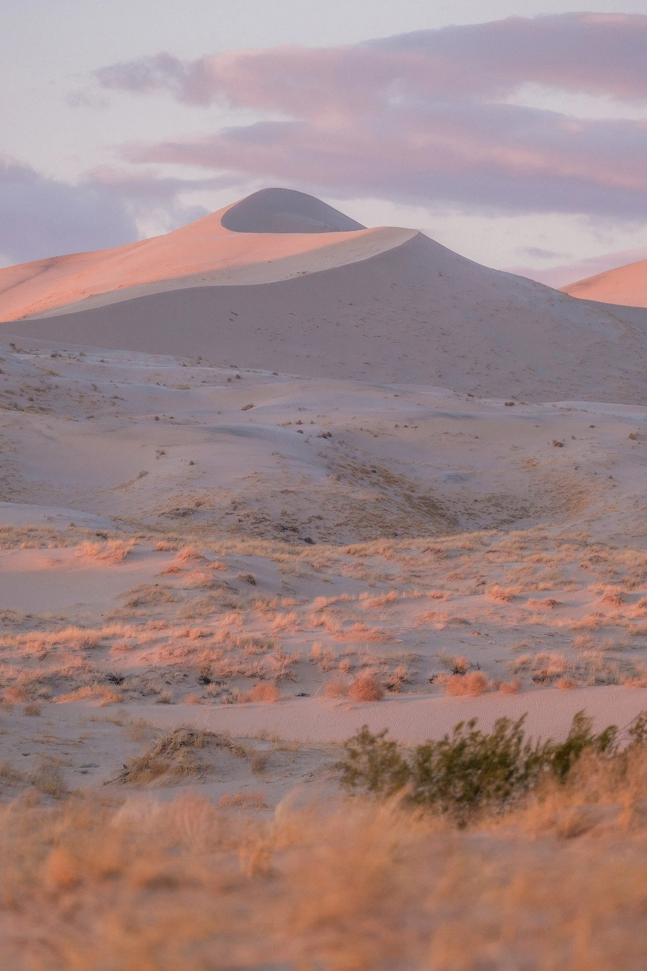
Sunset on the Dunes
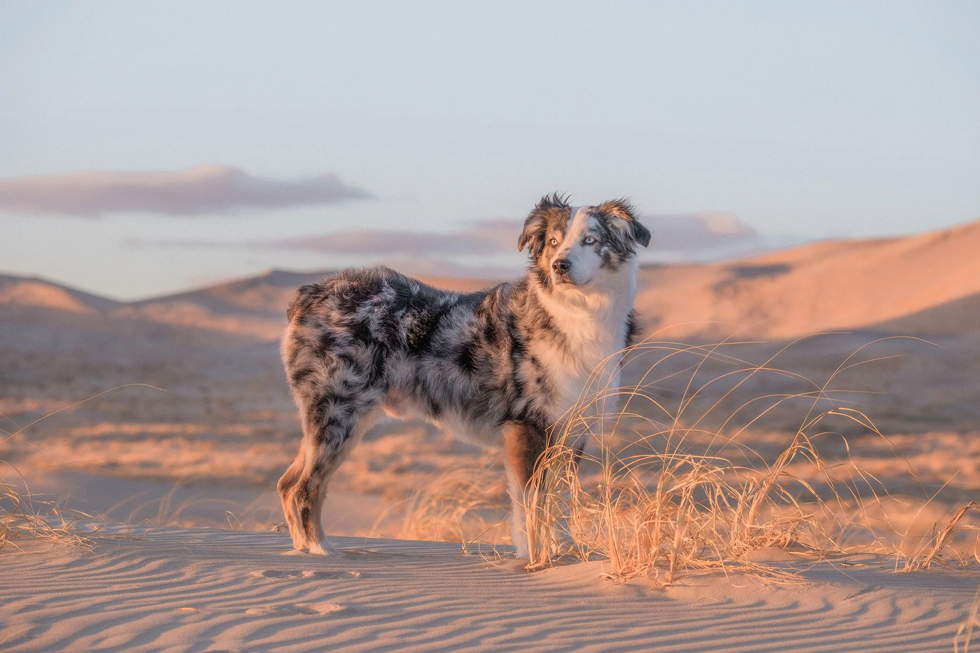


Hiking up to the top of the Dunes
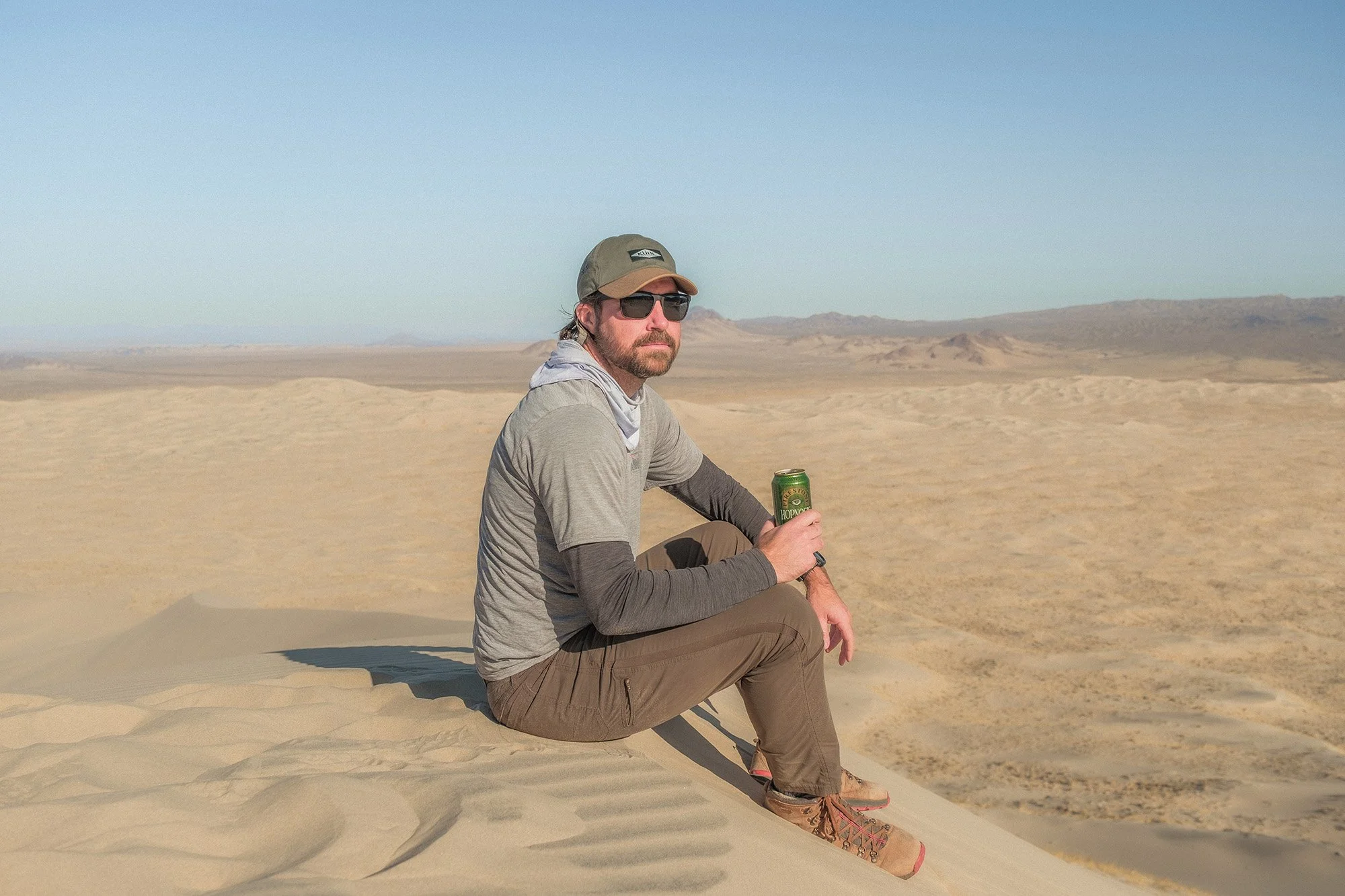
Enjoying a beer at the top!
After the Kelso Dunes I hit the road and ended up in Sheephole Valley Wilderness. Being wilderness area there wasn’t many options for off road camping, but I ended up finding a decent spot after driving back on the dirt road for a few miles. Nobody else was around so I had the whole area to myself. I camped for the night and explored around the next morning.
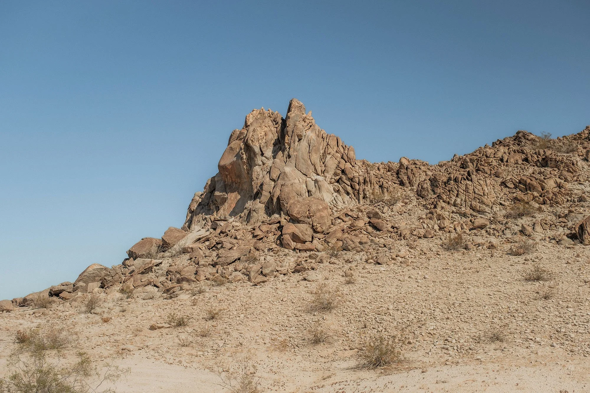


There were a lot of fun rocks to scramble on here.


After exploring for a while in Sheephole valley and some areas nearby I ended up heading back north a ways and stopped to camp for a few days at a BLM campground called Sawtooth Canyon. I spent a lot of time just hangin’ around and doing small walks around camp.


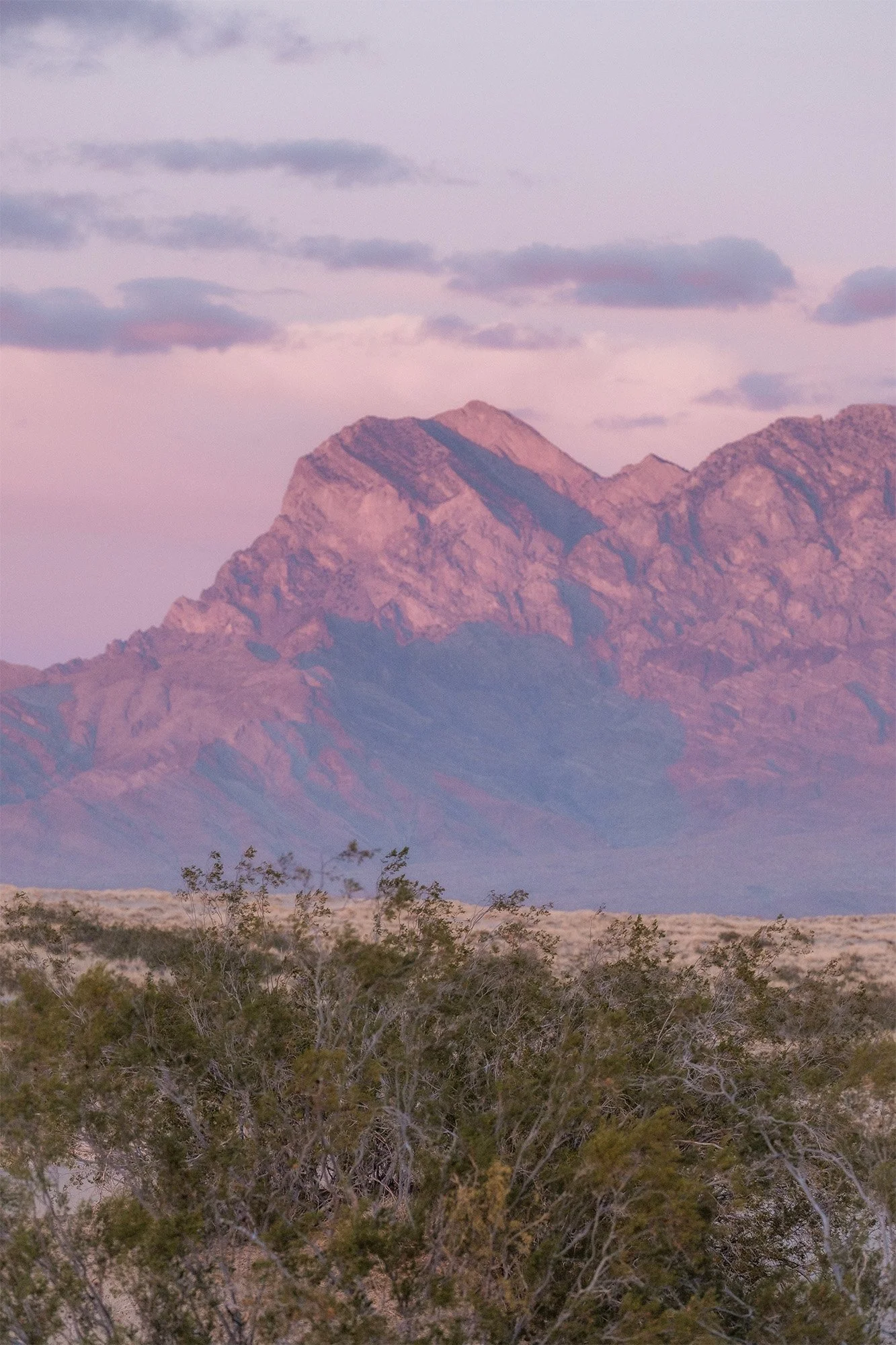
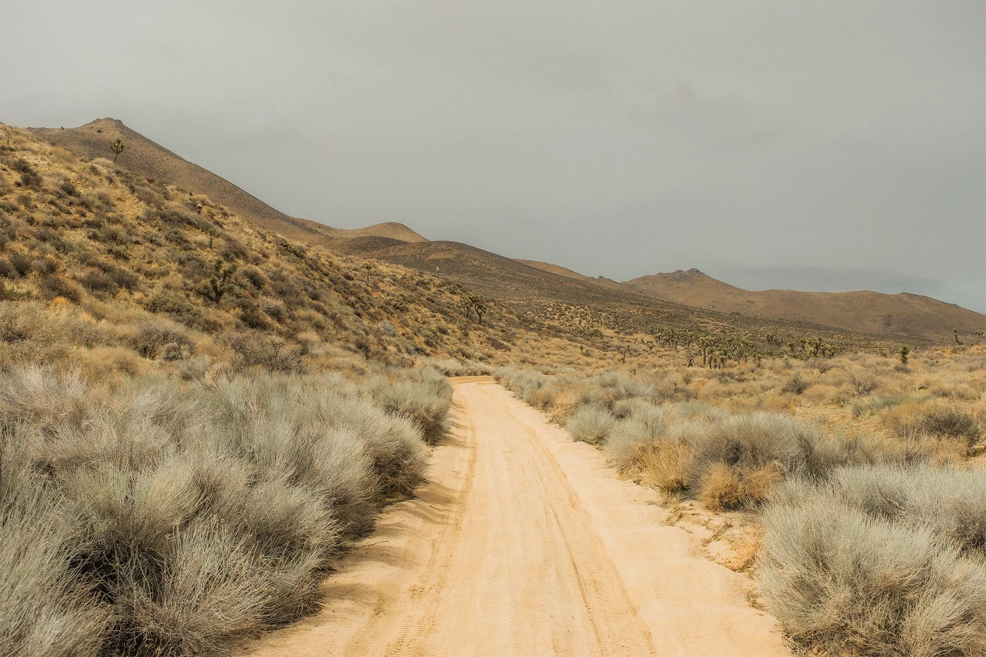
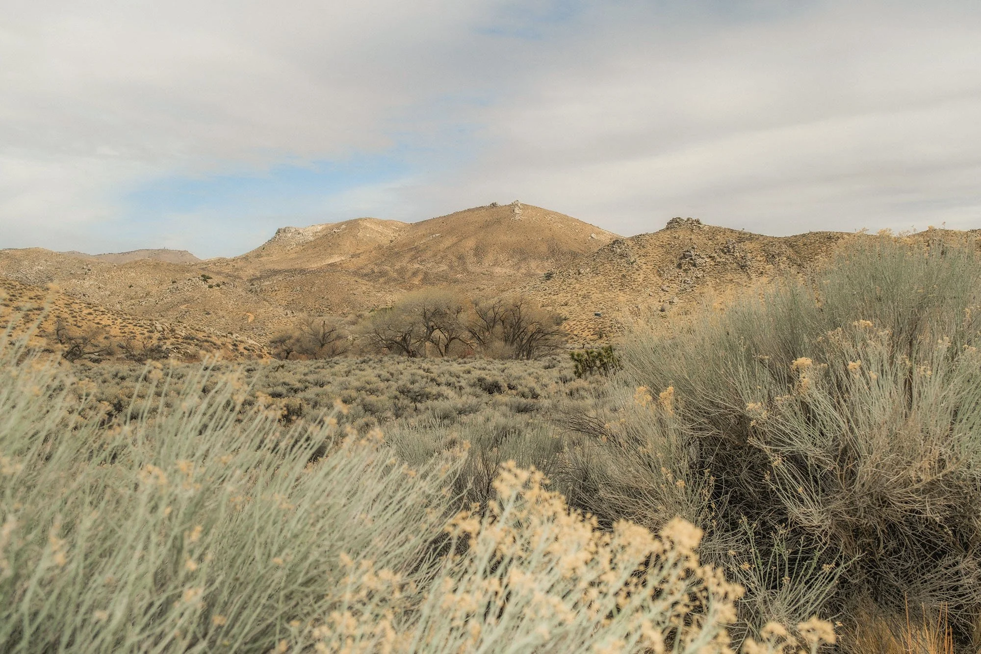
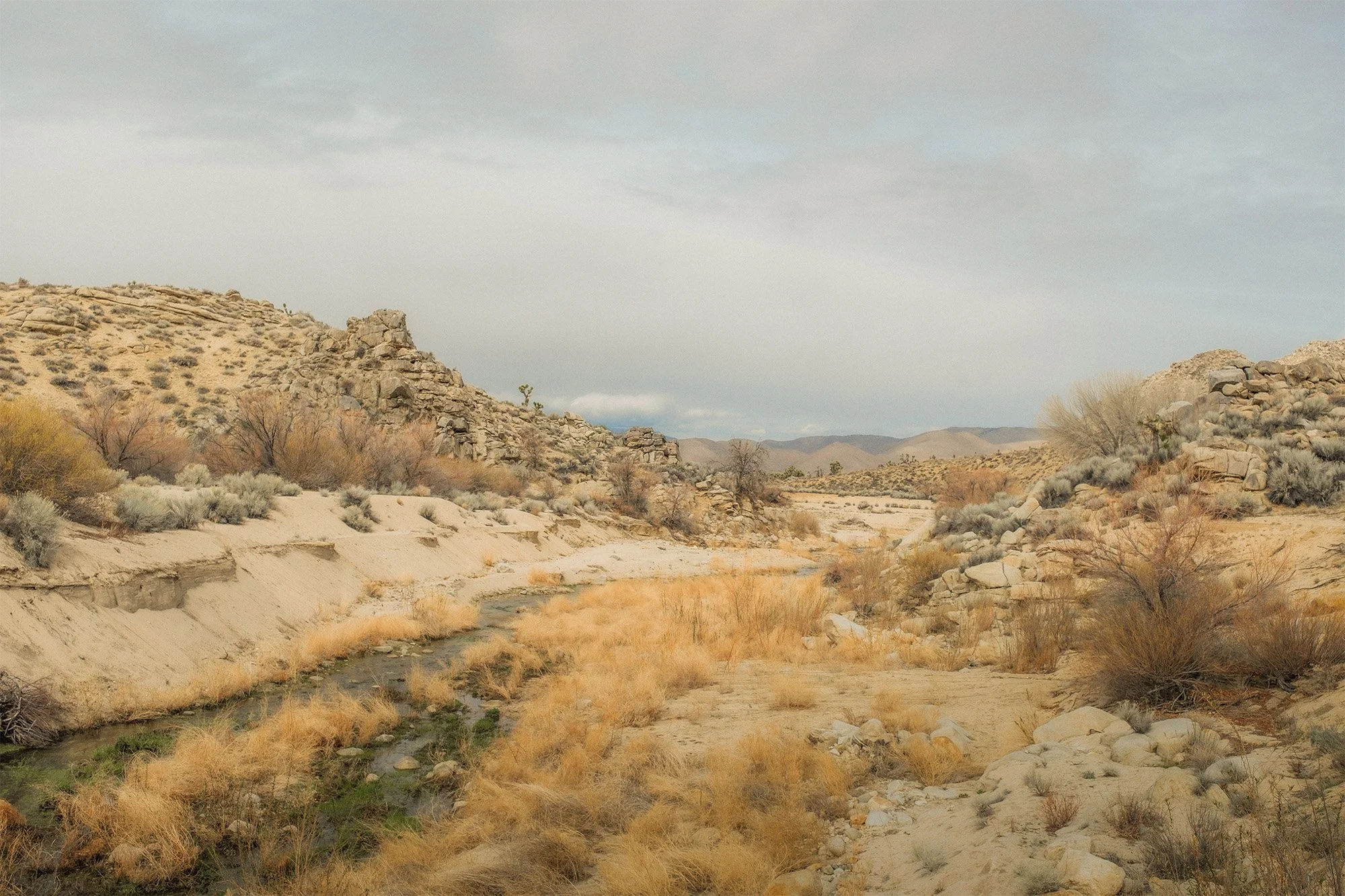
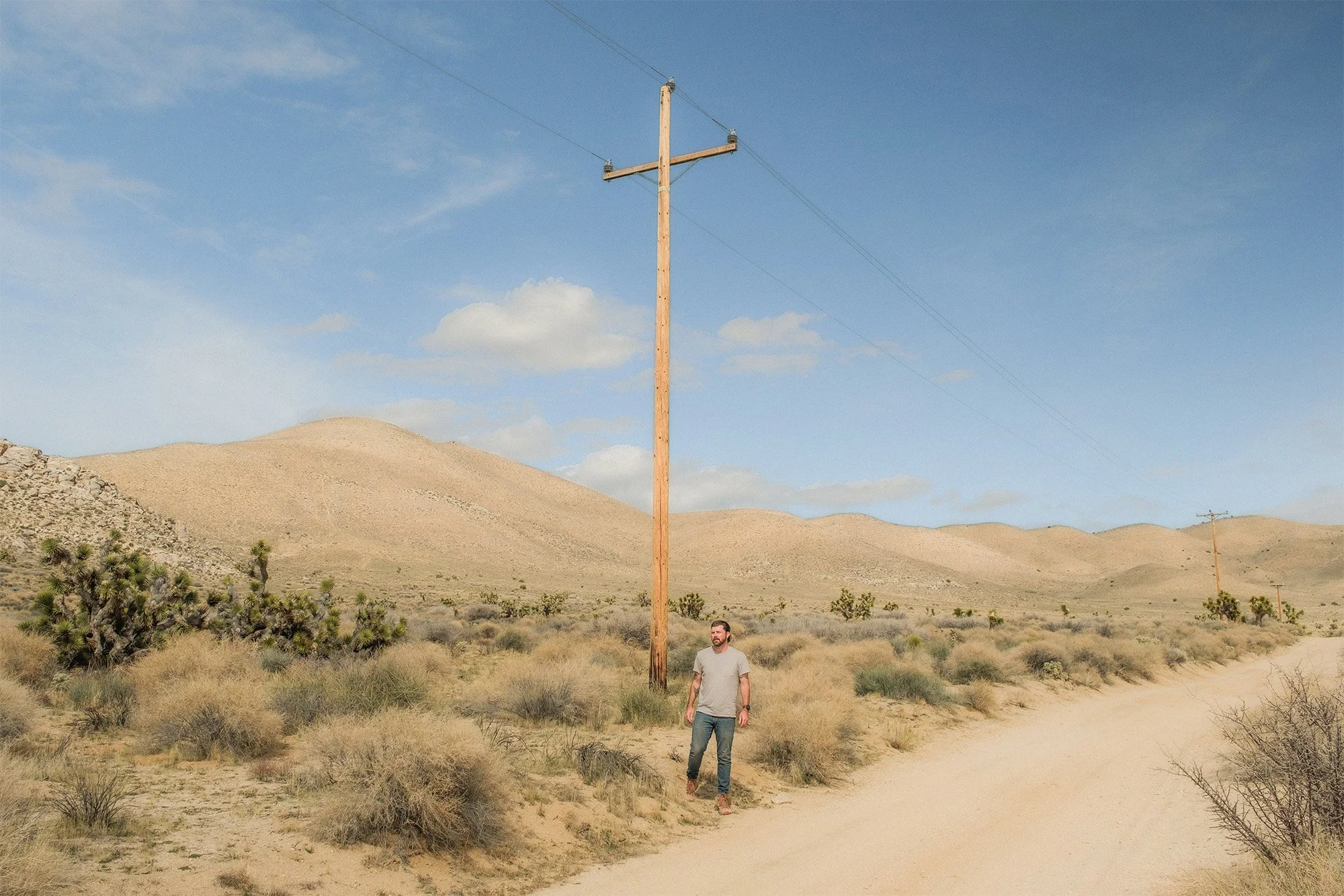
After a nice few days at Sawtooth Canyon to wrap up my trip I started the trek back to the Central Valley. But I didn’t want to just take the highway back. I wanted to take a scenic route. I ended up finding some really cool areas and landscapes through a section of California that I have never been to. Places like Bright Star Wilderness and Sageland were some of my favorite places and I really fell in love with the landscape.

Where the scenic route begins.


The End.. I hope you enjoyed the photos.
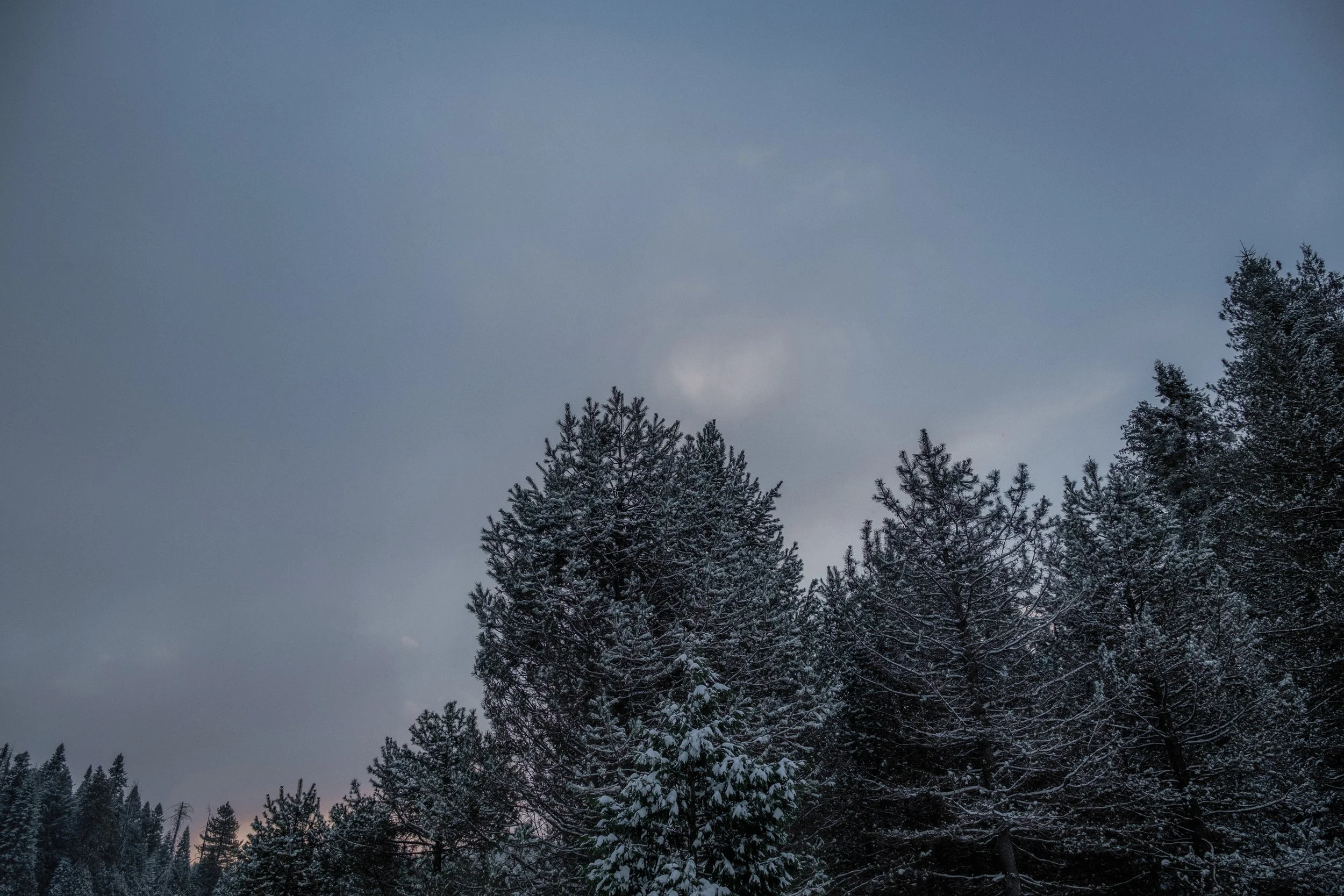
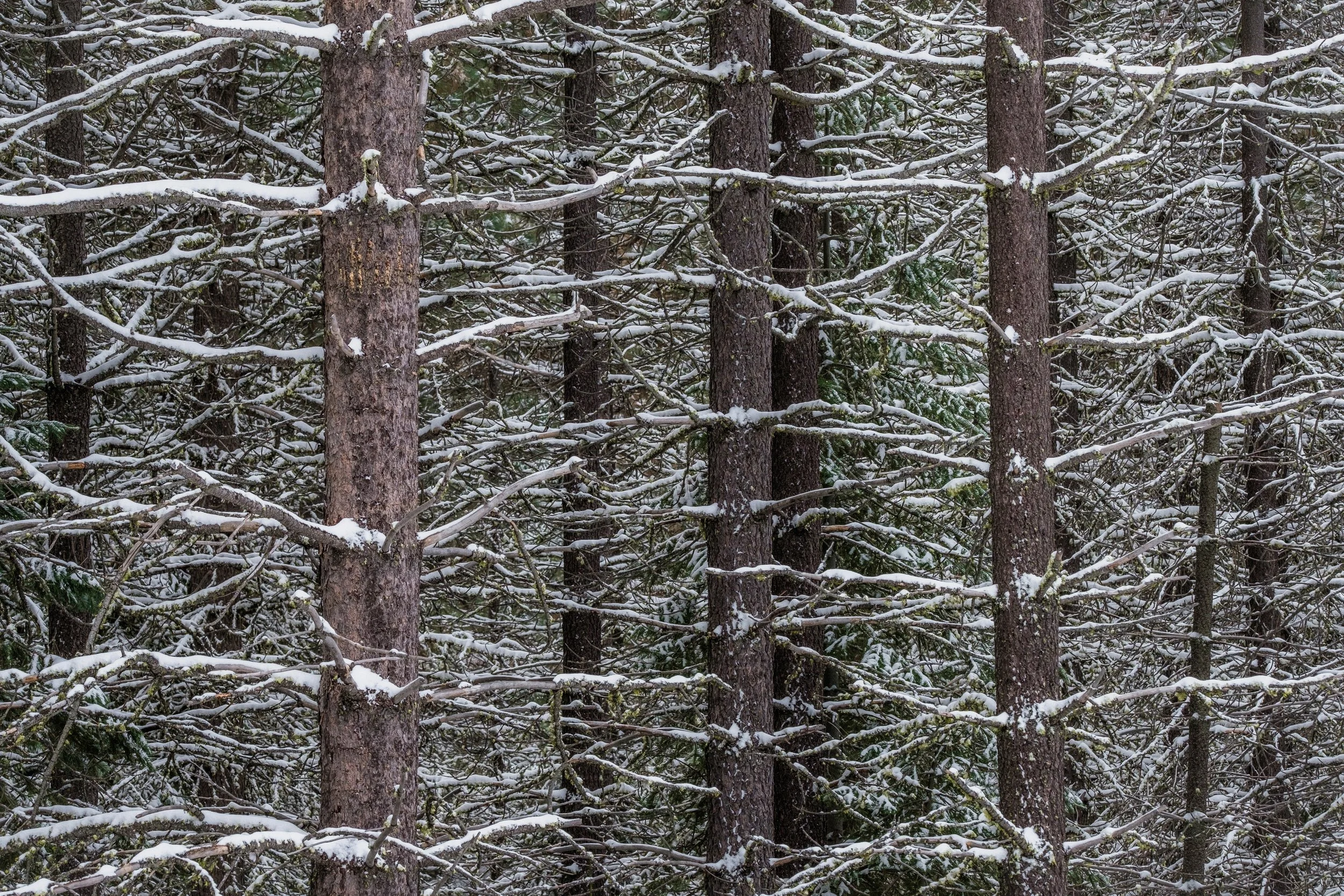
a snowstorm is coming
It was nearly a month without any new snow. This area in the Sierras near Shaver Lake, California didn’t get snowed on for almost the entire month on January. Until now. I saw that there was a storm in the forecast that projected about 5-6 inches of fresh snow, so I decided to drive up the mountain hours before the storm was supposed to come in and set up for an overnight truck camping trip. I wanted to be there to welcome the storm and the new snow. These are some images that I took before the storm and after of the fresh snowfall. It was a cold, dark and long night in my truck camper but it was definitely worth it.